Punkin Center Topo Map Colorado
To zoom in, hover over the map of Punkin Center
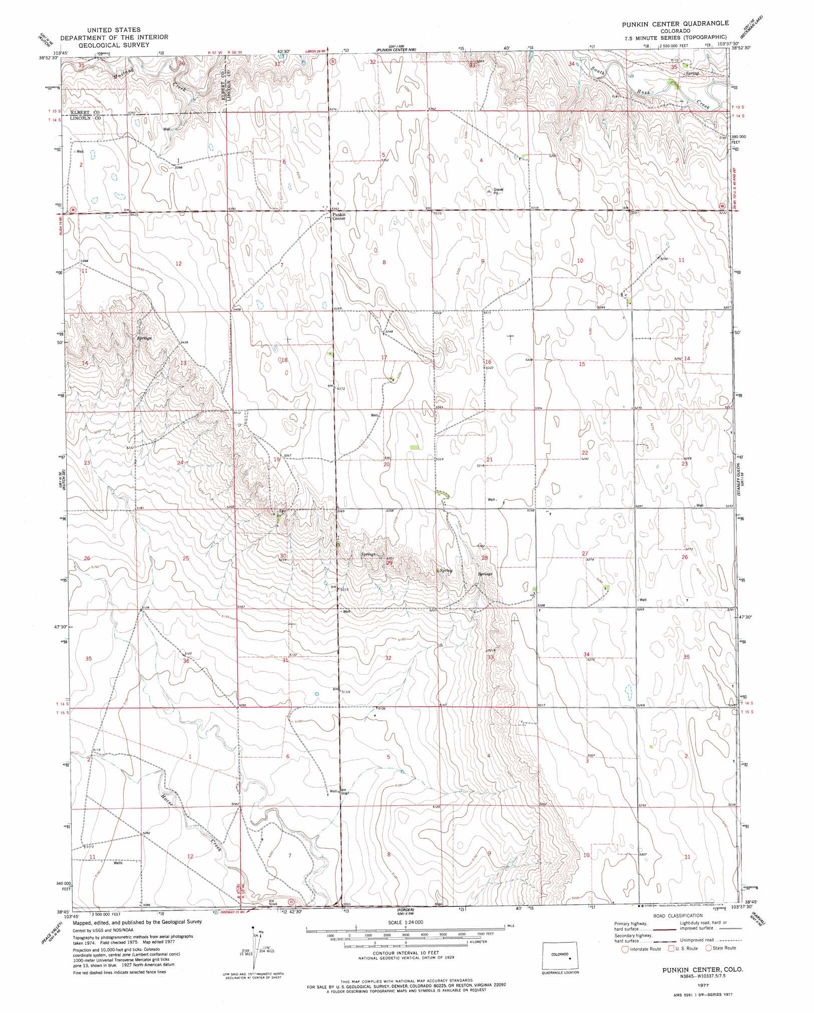
USGS Topo Quad 38103g6 - 1:24,000 scale
| Topo Map Name: | Punkin Center |
| USGS Topo Quad ID: | 38103g6 |
| Print Size: | ca. 21 1/4" wide x 27" high |
| Southeast Coordinates: | 38.75° N latitude / 103.625° W longitude |
| Map Center Coordinates: | 38.8125° N latitude / 103.6875° W longitude |
| U.S. State: | CO |
| Filename: | o38103g6.jpg |
| Download Map JPG Image: | Punkin Center topo map 1:24,000 scale |
| Map Type: | Topographic |
| Topo Series: | 7.5´ |
| Map Scale: | 1:24,000 |
| Source of Map Images: | United States Geological Survey (USGS) |
| Alternate Map Versions: |
Punkin Center CO 1977, updated 1978 Download PDF Buy paper map Punkin Center CO 2010 Download PDF Buy paper map Punkin Center CO 2013 Download PDF Buy paper map Punkin Center CO 2016 Download PDF Buy paper map |
1:24,000 Topo Quads surrounding Punkin Center
Matheson Sw |
Matheson Se |
Long Creek |
Lake Se |
Hugo Sw |
Kutch Nw |
Kutch |
Punkin Center Nw |
Beckman Lake |
Kinney Lake |
Kutch Sw |
Kutch Se |
Punkin Center |
Stanley Gulch |
Mckenzie Draw |
Sanborn Reservoir |
Peace Valley |
Forder |
Karval |
Hubbard Lake |
Cockleburr Springs |
Walker Point |
Sharp Lake |
Metz Springs |
Scott Draw |
> Back to 38103e1 at 1:100,000 scale
> Back to 38102a1 at 1:250,000 scale
> Back to U.S. Topo Maps home
Punkin Center topo map: Gazetteer
Punkin Center: Populated Places
Punkin Center elevation 1635m 5364′Punkin Center digital topo map on disk
Buy this Punkin Center topo map showing relief, roads, GPS coordinates and other geographical features, as a high-resolution digital map file on DVD: