Kutch Topo Map Colorado
To zoom in, hover over the map of Kutch
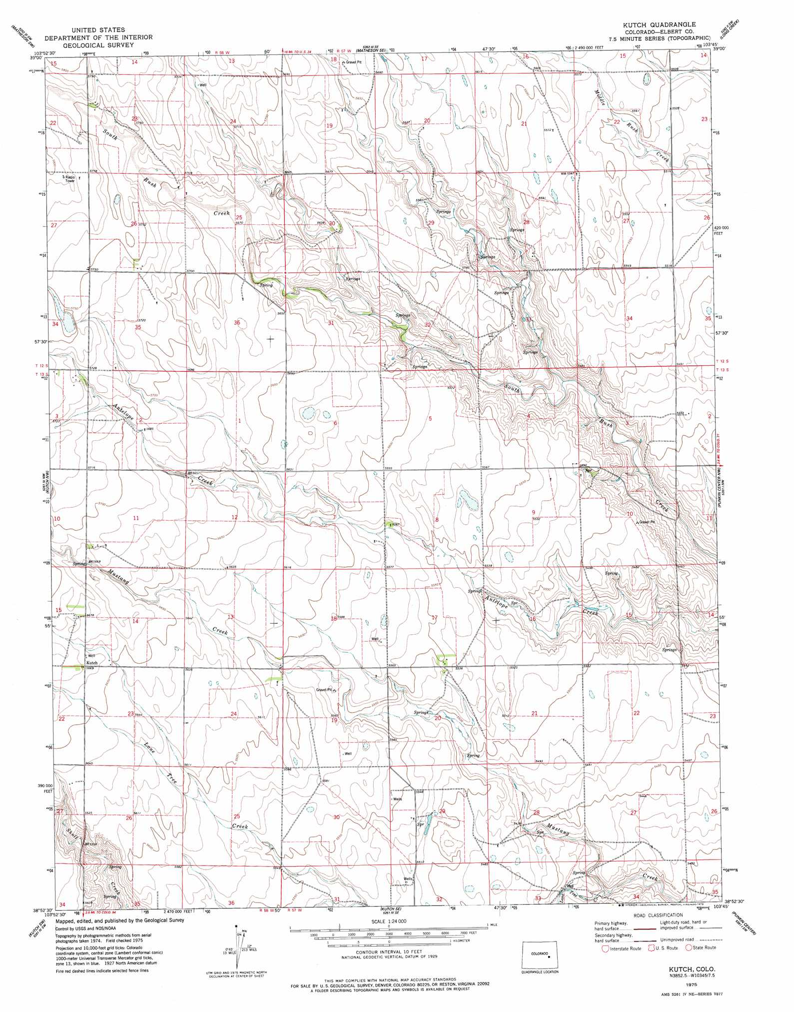
USGS Topo Quad 38103h7 - 1:24,000 scale
| Topo Map Name: | Kutch |
| USGS Topo Quad ID: | 38103h7 |
| Print Size: | ca. 21 1/4" wide x 27" high |
| Southeast Coordinates: | 38.875° N latitude / 103.75° W longitude |
| Map Center Coordinates: | 38.9375° N latitude / 103.8125° W longitude |
| U.S. State: | CO |
| Filename: | o38103h7.jpg |
| Download Map JPG Image: | Kutch topo map 1:24,000 scale |
| Map Type: | Topographic |
| Topo Series: | 7.5´ |
| Map Scale: | 1:24,000 |
| Source of Map Images: | United States Geological Survey (USGS) |
| Alternate Map Versions: |
Kutch CO 1975, updated 1978 Download PDF Buy paper map Kutch CO 2010 Download PDF Buy paper map Kutch CO 2013 Download PDF Buy paper map Kutch CO 2016 Download PDF Buy paper map |
1:24,000 Topo Quads surrounding Kutch
Simla |
Matheson |
Matheson Ne |
Lake |
Barron Creek |
Alta Vista |
Matheson Sw |
Matheson Se |
Long Creek |
Lake Se |
Holtwold Store |
Kutch Nw |
Kutch |
Punkin Center Nw |
Beckman Lake |
Rush |
Kutch Sw |
Kutch Se |
Punkin Center |
Stanley Gulch |
Truckton Ne |
Sanborn Reservoir |
Peace Valley |
Forder |
Karval |
> Back to 38103e1 at 1:100,000 scale
> Back to 38102a1 at 1:250,000 scale
> Back to U.S. Topo Maps home
Kutch topo map: Gazetteer
Kutch: Populated Places
Kutch elevation 1729m 5672′Kutch: Streams
Lone Tree Creek elevation 1646m 5400′Kutch digital topo map on disk
Buy this Kutch topo map showing relief, roads, GPS coordinates and other geographical features, as a high-resolution digital map file on DVD: