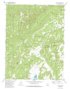
Red Ridge Topo Map Utah
To zoom in, hover over the map of Red Ridge
USGS Topo Quad 38112f4 - 1:24,000 scale
| Topo Map Name: | Red Ridge |
| USGS Topo Quad ID: | 38112f4 |
| Print Size: | ca. 21 1/4" wide x 27" high |
| Southeast Coordinates: | 38.625° N latitude / 112.375° W longitude |
| Map Center Coordinates: | 38.6875° N latitude / 112.4375° W longitude |
| U.S. State: | UT |
| Filename: | o38112f4.jpg |
| Download Map JPG Image: | Red Ridge topo map 1:24,000 scale |
| Map Type: | Topographic |
| Topo Series: | 7.5´ |
| Map Scale: | 1:24,000 |
| Source of Map Images: | United States Geological Survey (USGS) |
| Alternate Map Versions: |
Red Ridge UT 1981, updated 1981 Download PDF Buy paper map Red Ridge UT 2001, updated 2003 Download PDF Buy paper map Red Ridge UT 2011 Download PDF Buy paper map Red Ridge UT 2014 Download PDF Buy paper map |
| FStopo: | US Forest Service topo Red Ridge is available: Download FStopo PDF Download FStopo TIF |
1:24,000 Topo Quads surrounding Red Ridge
> Back to 38112e1 at 1:100,000 scale
> Back to 38112a1 at 1:250,000 scale
> Back to U.S. Topo Maps home
Red Ridge topo map: Gazetteer
Red Ridge: Basins
Bull Valley elevation 2141m 7024′Red Ridge: Dams
Three Creeks Dam elevation 2081m 6827′Red Ridge: Lakes
Burnt Tree Pond elevation 2085m 6840′Red Ridge: Reservoirs
Three Creeks Reservoir elevation 2081m 6827′Red Ridge: Ridges
Red Ridge elevation 2374m 7788′Red Ridge: Springs
Bull Valley Spring elevation 2177m 7142′Cold Spring elevation 2230m 7316′
Ferguson Spring elevation 2378m 7801′
First Creek Spring elevation 2274m 7460′
Red Cedar Spring elevation 2111m 6925′
Staples Spring elevation 2053m 6735′
Red Ridge: Streams
Birch Creek elevation 2081m 6827′Ferguson Creek elevation 1961m 6433′
Grass Creek elevation 2133m 6998′
Herdhouse Wash elevation 1953m 6407′
Magpie Creek elevation 2094m 6870′
North Creek elevation 2093m 6866′
North Fork Three Creeks elevation 2083m 6833′
Skunk Creek elevation 2228m 7309′
Red Ridge: Summits
East Mountain elevation 2298m 7539′Granddad Peak elevation 2377m 7798′
Marys Nipples elevation 2570m 8431′
South Mountain elevation 2516m 8254′
The Pyramids elevation 2455m 8054′
Red Ridge: Valleys
Big Oaks Hollow elevation 2041m 6696′Charlesworth Valley elevation 2311m 7582′
Gardner Hollow elevation 2310m 7578′
Red Ridge digital topo map on disk
Buy this Red Ridge topo map showing relief, roads, GPS coordinates and other geographical features, as a high-resolution digital map file on DVD:


