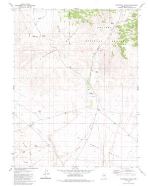
Cloverdale Ranch Topo Map Nevada
To zoom in, hover over the map of Cloverdale Ranch
USGS Topo Quad 38117e5 - 1:24,000 scale
| Topo Map Name: | Cloverdale Ranch |
| USGS Topo Quad ID: | 38117e5 |
| Print Size: | ca. 21 1/4" wide x 27" high |
| Southeast Coordinates: | 38.5° N latitude / 117.5° W longitude |
| Map Center Coordinates: | 38.5625° N latitude / 117.5625° W longitude |
| U.S. State: | NV |
| Filename: | o38117e5.jpg |
| Download Map JPG Image: | Cloverdale Ranch topo map 1:24,000 scale |
| Map Type: | Topographic |
| Topo Series: | 7.5´ |
| Map Scale: | 1:24,000 |
| Source of Map Images: | United States Geological Survey (USGS) |
| Alternate Map Versions: |
Cloverdale Ranch NV 1980, updated 1980 Download PDF Buy paper map Cloverdale Ranch NV 2011 Download PDF Buy paper map Cloverdale Ranch NV 2014 Download PDF Buy paper map |
| FStopo: | US Forest Service topo Cloverdale Ranch is available: Download FStopo PDF Download FStopo TIF |
1:24,000 Topo Quads surrounding Cloverdale Ranch
> Back to 38117e1 at 1:100,000 scale
> Back to 38116a1 at 1:250,000 scale
> Back to U.S. Topo Maps home
Cloverdale Ranch topo map: Gazetteer
Cloverdale Ranch: Mines
Orizaba Mine elevation 1757m 5764′Cloverdale Ranch: Populated Places
Cloverdale (historical) elevation 1769m 5803′Orizaba (historical) elevation 1731m 5679′
Cloverdale Ranch: Post Offices
Cloverdale Post Office (historical) elevation 1769m 5803′Cloverdale Ranch: Springs
Fourmile Spring elevation 1934m 6345′Mississippi Springs elevation 1884m 6181′
Red Spring elevation 1681m 5515′
Rojo Spring elevation 1813m 5948′
Stevens Spring elevation 1897m 6223′
West Willow Spring elevation 1861m 6105′
Willow Springs elevation 1898m 6227′
Yellow Spring elevation 1670m 5479′
Cloverdale Ranch digital topo map on disk
Buy this Cloverdale Ranch topo map showing relief, roads, GPS coordinates and other geographical features, as a high-resolution digital map file on DVD:


