Jacks Spring Topo Map Nevada
To zoom in, hover over the map of Jacks Spring
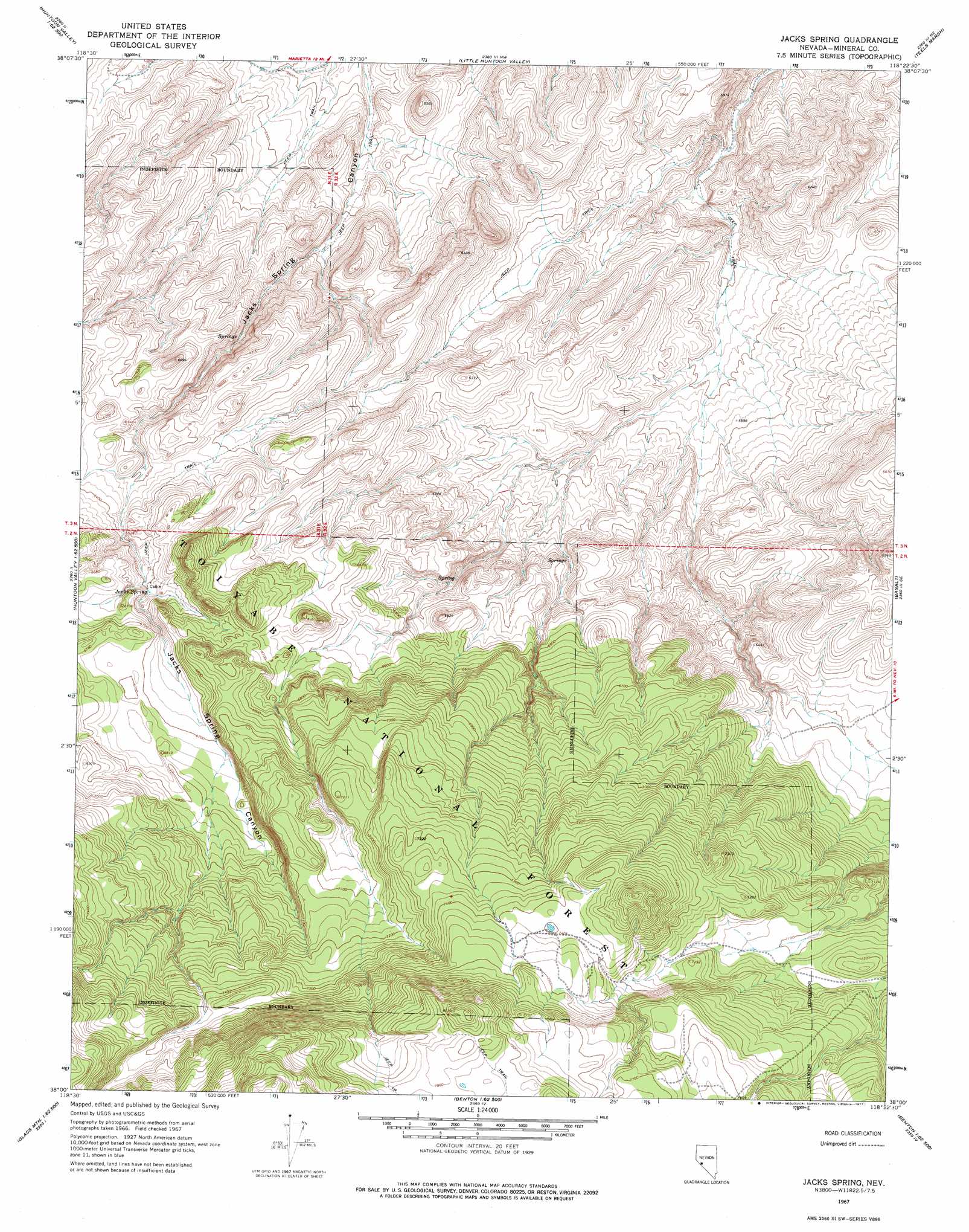
USGS Topo Quad 38118a4 - 1:24,000 scale
| Topo Map Name: | Jacks Spring |
| USGS Topo Quad ID: | 38118a4 |
| Print Size: | ca. 21 1/4" wide x 27" high |
| Southeast Coordinates: | 38° N latitude / 118.375° W longitude |
| Map Center Coordinates: | 38.0625° N latitude / 118.4375° W longitude |
| U.S. State: | NV |
| Filename: | o38118a4.jpg |
| Download Map JPG Image: | Jacks Spring topo map 1:24,000 scale |
| Map Type: | Topographic |
| Topo Series: | 7.5´ |
| Map Scale: | 1:24,000 |
| Source of Map Images: | United States Geological Survey (USGS) |
| Alternate Map Versions: |
Jacks Spring NV 1967, updated 1969 Download PDF Buy paper map Jacks Spring NV 1967, updated 1977 Download PDF Buy paper map Jacks Spring NV 1994, updated 1997 Download PDF Buy paper map Jacks Spring NV 2012 Download PDF Buy paper map Jacks Spring NV 2014 Download PDF Buy paper map |
| FStopo: | US Forest Service topo Jacks Spring is available: Download FStopo PDF Download FStopo TIF |
1:24,000 Topo Quads surrounding Jacks Spring
Powell Mountain |
Whisky Flat |
Rattlesnake Flat |
Moho Mountain |
Camp Douglas |
Anchorite Hills |
Huntoon Valley |
Little Huntoon Valley |
Teels Marsh |
Belleville |
West Of Huntoon Spring |
Huntoon Spring |
Jacks Spring |
Basalt |
Miller Mountain |
Indian Meadows |
River Spring |
Truman Meadows |
Mount Montgomery |
Volcanic Hills West |
Glass Mountain |
Benton Hot Spirngs |
Benton |
Boundary Peak |
Davis Mountain |
> Back to 38118a1 at 1:100,000 scale
> Back to 38118a1 at 1:250,000 scale
> Back to U.S. Topo Maps home
Jacks Spring digital topo map on disk
Buy this Jacks Spring topo map showing relief, roads, GPS coordinates and other geographical features, as a high-resolution digital map file on DVD: