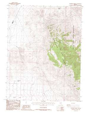
Hussman Spring Topo Map Nevada
To zoom in, hover over the map of Hussman Spring
USGS Topo Quad 38118h8 - 1:24,000 scale
| Topo Map Name: | Hussman Spring |
| USGS Topo Quad ID: | 38118h8 |
| Print Size: | ca. 21 1/4" wide x 27" high |
| Southeast Coordinates: | 38.875° N latitude / 118.875° W longitude |
| Map Center Coordinates: | 38.9375° N latitude / 118.9375° W longitude |
| U.S. State: | NV |
| Filename: | o38118h8.jpg |
| Download Map JPG Image: | Hussman Spring topo map 1:24,000 scale |
| Map Type: | Topographic |
| Topo Series: | 7.5´ |
| Map Scale: | 1:24,000 |
| Source of Map Images: | United States Geological Survey (USGS) |
| Alternate Map Versions: |
Hussman Spring NV 1988, updated 1988 Download PDF Buy paper map Hussman Spring NV 2011 Download PDF Buy paper map Hussman Spring NV 2014 Download PDF Buy paper map |
1:24,000 Topo Quads surrounding Hussman Spring
> Back to 38118e1 at 1:100,000 scale
> Back to 38118a1 at 1:250,000 scale
> Back to U.S. Topo Maps home
Hussman Spring topo map: Gazetteer
Hussman Spring: Mines
Granite Mine elevation 1765m 5790′Mountain View Mine elevation 1843m 6046′
Northern Lights Mine elevation 2039m 6689′
Yerington Mountain Copper Company Mine elevation 2108m 6916′
Hussman Spring: Populated Places
Granite (historical) elevation 1767m 5797′Mountain View (historical) elevation 1783m 5849′
Hussman Spring: Post Offices
Granite Post Office (historical) elevation 1767m 5797′Mountain View Post Office (historical) elevation 1783m 5849′
Hussman Spring: Springs
Hussman Spring elevation 1994m 6541′Paiute Spring elevation 1559m 5114′
Perry Springs elevation 1643m 5390′
Hussman Spring: Summits
Black Mountain elevation 2448m 8031′Hussman Spring: Wells
Black Mountain Well elevation 1533m 5029′Hendricks Well elevation 1492m 4895′
Hussman Spring digital topo map on disk
Buy this Hussman Spring topo map showing relief, roads, GPS coordinates and other geographical features, as a high-resolution digital map file on DVD:


