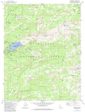
Pinecrest Topo Map California
To zoom in, hover over the map of Pinecrest
USGS Topo Quad 38119b8 - 1:24,000 scale
| Topo Map Name: | Pinecrest |
| USGS Topo Quad ID: | 38119b8 |
| Print Size: | ca. 21 1/4" wide x 27" high |
| Southeast Coordinates: | 38.125° N latitude / 119.875° W longitude |
| Map Center Coordinates: | 38.1875° N latitude / 119.9375° W longitude |
| U.S. State: | CA |
| Filename: | o38119b8.jpg |
| Download Map JPG Image: | Pinecrest topo map 1:24,000 scale |
| Map Type: | Topographic |
| Topo Series: | 7.5´ |
| Map Scale: | 1:24,000 |
| Source of Map Images: | United States Geological Survey (USGS) |
| Alternate Map Versions: |
Pinecrest CA 1979, updated 1980 Download PDF Buy paper map Pinecrest CA 1979, updated 1983 Download PDF Buy paper map Pinecrest CA 1979, updated 1983 Download PDF Buy paper map Pine Crest CA 2001, updated 2004 Download PDF Buy paper map Pinecrest CA 2001, updated 2004 Download PDF Buy paper map Pinecrest CA 2012 Download PDF Buy paper map Pinecrest CA 2015 Download PDF Buy paper map |
| FStopo: | US Forest Service topo Pinecrest is available: Download FStopo PDF Download FStopo TIF |
1:24,000 Topo Quads surrounding Pinecrest
> Back to 38119a1 at 1:100,000 scale
> Back to 38118a1 at 1:250,000 scale
> Back to U.S. Topo Maps home
Pinecrest topo map: Gazetteer
Pinecrest: Basins
Bull Run elevation 2067m 6781′Punch Bowl elevation 2078m 6817′
Pinecrest: Dams
Herring Creek Dam elevation 2279m 7477′Leland Meadows 559 Dam elevation 1918m 6292′
Main Strawberry 97-074 Dam elevation 1713m 5620′
Pinecrest: Flats
Aspen Meadow elevation 2148m 7047′Bell Meadow elevation 1998m 6555′
Bluff Meadow elevation 2449m 8034′
Dodge Meadow elevation 1835m 6020′
Fiddlers Green elevation 1962m 6437′
Gully Meadow elevation 2519m 8264′
Leland Meadow elevation 1923m 6309′
Meadows elevation 2573m 8441′
Middle Three Meadow elevation 2552m 8372′
Three Meadows elevation 2554m 8379′
Upper Three Meadow elevation 2586m 8484′
Pinecrest: Lakes
Camp Lake elevation 2314m 7591′Catfish Lake elevation 1837m 6026′
Clear Lake elevation 2106m 6909′
Lily Lake elevation 1959m 6427′
Mud Lake elevation 2147m 7043′
Waterhouse Lake elevation 2265m 7431′
Pinecrest: Populated Places
Bumblebee elevation 1780m 5839′Cow Creek elevation 1780m 5839′
Pinecrest elevation 1731m 5679′
Pinecrest: Reservoirs
Herring Creek Reservoir elevation 2279m 7477′Leland Reservoir elevation 1918m 6292′
Pinecrest Lake elevation 1710m 5610′
Pinecrest: Springs
Box Spring elevation 2243m 7358′Pinecrest: Streams
Bell Creek elevation 1825m 5987′Gooseberry Creek elevation 1930m 6332′
Herring Creek elevation 1634m 5360′
Lily Creek elevation 1825m 5987′
Sheering Creek elevation 1739m 5705′
Pinecrest: Summits
Bell Mountain elevation 2425m 7956′Pinecrest Peak elevation 2574m 8444′
Pinecrest: Valleys
Coffin Hollow elevation 2034m 6673′Pine Valley elevation 2146m 7040′
Pinecrest digital topo map on disk
Buy this Pinecrest topo map showing relief, roads, GPS coordinates and other geographical features, as a high-resolution digital map file on DVD:


