Yerington Se Topo Map Nevada
To zoom in, hover over the map of Yerington Se
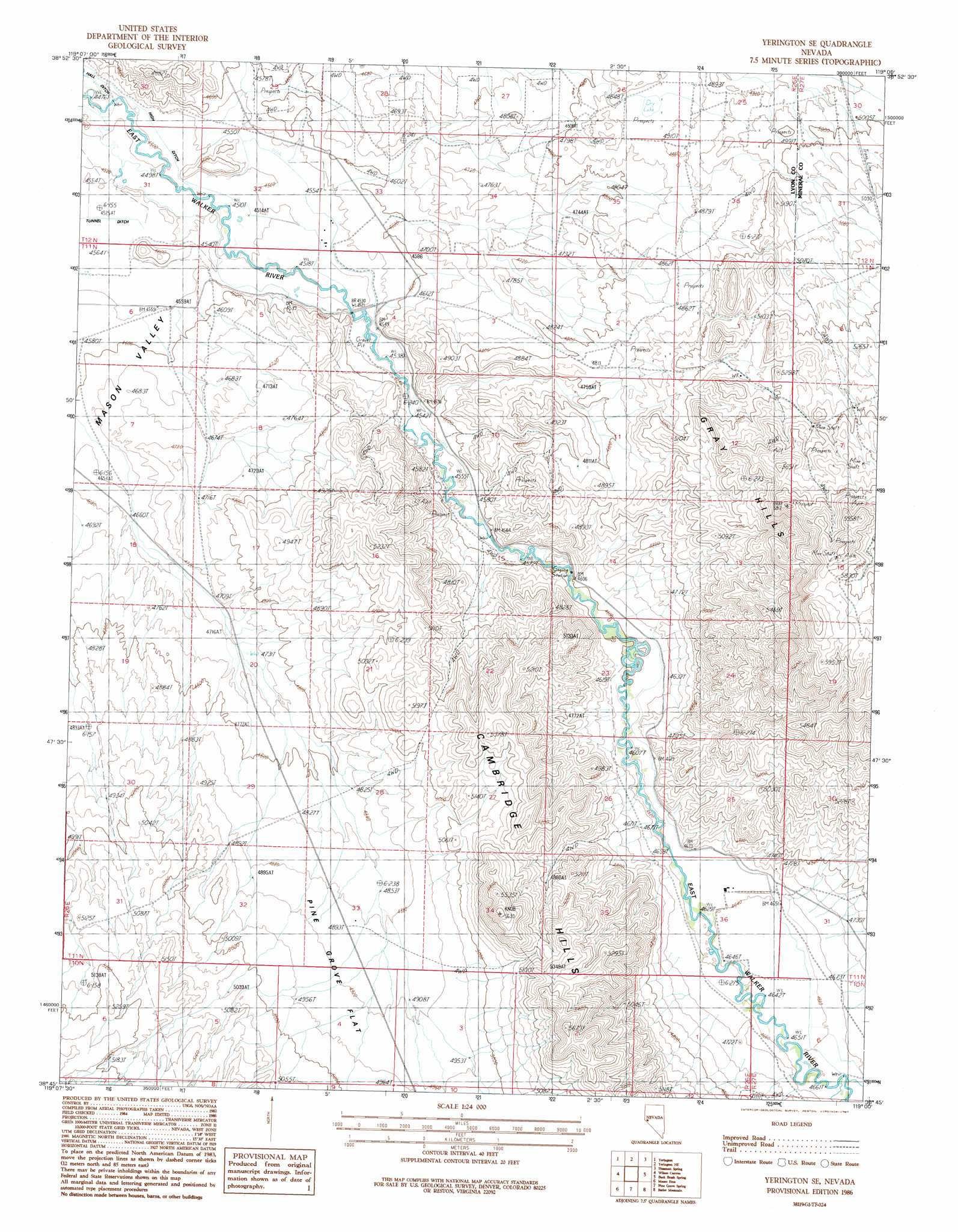
USGS Topo Quad 38119g1 - 1:24,000 scale
| Topo Map Name: | Yerington Se |
| USGS Topo Quad ID: | 38119g1 |
| Print Size: | ca. 21 1/4" wide x 27" high |
| Southeast Coordinates: | 38.75° N latitude / 119° W longitude |
| Map Center Coordinates: | 38.8125° N latitude / 119.0625° W longitude |
| U.S. State: | NV |
| Filename: | o38119g1.jpg |
| Download Map JPG Image: | Yerington Se topo map 1:24,000 scale |
| Map Type: | Topographic |
| Topo Series: | 7.5´ |
| Map Scale: | 1:24,000 |
| Source of Map Images: | United States Geological Survey (USGS) |
| Alternate Map Versions: |
Yerington SE NV 1986, updated 1987 Download PDF Buy paper map Yerington SE NV 2012 Download PDF Buy paper map Yerington SE NV 2014 Download PDF Buy paper map |
| FStopo: | US Forest Service topo Yerington SE is available: Download FStopo PDF Download FStopo TIF |
1:24,000 Topo Quads surrounding Yerington Se
Lincoln Flat |
Mason Butte |
Hinkson Slough |
Weber Reservoir |
Weber Dam |
Artesia Lake |
Yerington |
Yerington Ne |
Hussman Spring |
Schurz |
Smith |
Wilson Canyon |
Yerington Se |
Buck Brush Spring |
Reese River Canyon |
Desert Creek Ranch |
Mount Etna |
Pine Grove Spring |
Butler Mountain |
Copper Canyon |
Desert Creek Peak |
Nye Canyon |
Wichman Canyon |
Mitchell Spring |
Mount Grant |
> Back to 38119e1 at 1:100,000 scale
> Back to 38118a1 at 1:250,000 scale
> Back to U.S. Topo Maps home
Yerington Se topo map: Gazetteer
Yerington Se: Canals
Lower Charlebois Ditch elevation 1420m 4658′Strosnider East Ditch elevation 1387m 4550′
Strosnider West Ditch elevation 1378m 4520′
Upper Charlebois Ditch elevation 1427m 4681′
Yerington Se: Ranges
Cambridge Hills elevation 1636m 5367′Yerington Se digital topo map on disk
Buy this Yerington Se topo map showing relief, roads, GPS coordinates and other geographical features, as a high-resolution digital map file on DVD: