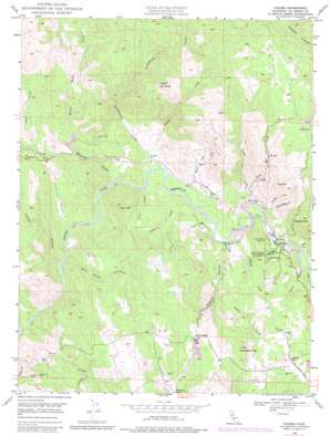
Coloma Topo Map California
To zoom in, hover over the map of Coloma
USGS Topo Quad 38120g8 - 1:24,000 scale
| Topo Map Name: | Coloma |
| USGS Topo Quad ID: | 38120g8 |
| Print Size: | ca. 21 1/4" wide x 27" high |
| Southeast Coordinates: | 38.75° N latitude / 120.875° W longitude |
| Map Center Coordinates: | 38.8125° N latitude / 120.9375° W longitude |
| U.S. State: | CA |
| Filename: | o38120g8.jpg |
| Download Map JPG Image: | Coloma topo map 1:24,000 scale |
| Map Type: | Topographic |
| Topo Series: | 7.5´ |
| Map Scale: | 1:24,000 |
| Source of Map Images: | United States Geological Survey (USGS) |
| Alternate Map Versions: |
Coloma CA 1949, updated 1956 Download PDF Buy paper map Coloma CA 1949, updated 1974 Download PDF Buy paper map Coloma CA 1949, updated 1977 Download PDF Buy paper map Coloma CA 1949, updated 1977 Download PDF Buy paper map Coloma CA 1949, updated 1983 Download PDF Buy paper map Coloma CA 1949, updated 1983 Download PDF Buy paper map Coloma CA 1950 Download PDF Buy paper map Coloma CA 2012 Download PDF Buy paper map Coloma CA 2015 Download PDF Buy paper map |
1:24,000 Topo Quads surrounding Coloma
> Back to 38120e1 at 1:100,000 scale
> Back to 38120a1 at 1:250,000 scale
> Back to U.S. Topo Maps home
Coloma topo map: Gazetteer
Coloma: Airports
Akin Airport elevation 485m 1591′Bacchi Valley Industries Airport elevation 227m 744′
Coloma: Dams
Abrams 3462-002 Dam elevation 290m 951′Bacchi 1461 Dam elevation 273m 895′
Gastaldi 1466 Dam elevation 496m 1627′
Jacobs Creek 53-006 Dam elevation 421m 1381′
Schubin 2460 Dam elevation 411m 1348′
Straza 3462 Dam elevation 260m 853′
Veerkamp 1465 Dam elevation 489m 1604′
Williamson Number 1 464 Dam elevation 322m 1056′
Coloma: Mines
Boulder Mine elevation 312m 1023′Delores Mine elevation 313m 1026′
Lilyama Mine elevation 290m 951′
Coloma: Parks
Beer Garden Picnic Area elevation 234m 767′Coloma elevation 233m 764′
Gold Discovery Site State Park elevation 247m 810′
James W Marshall State Historical Monument elevation 305m 1000′
Coloma: Populated Places
Gold Hill elevation 494m 1620′Koloma (historical) elevation 233m 764′
Lotus elevation 220m 721′
Coloma: Post Offices
Coloma Post Office elevation 232m 761′Lotus Post Office elevation 221m 725′
Coloma: Streams
Black Rock Creek elevation 250m 820′Blue Tent Creek elevation 239m 784′
Brush Creek elevation 208m 682′
Burnt Shanty Creek elevation 178m 583′
Clark Creek elevation 196m 643′
Dutch Creek elevation 231m 757′
Gambler Creek elevation 225m 738′
Granite Creek elevation 212m 695′
Greenwood Creek elevation 199m 652′
Hastings Creek elevation 193m 633′
Indian Creek elevation 222m 728′
Indian Creek elevation 235m 770′
Jacobs Creek elevation 202m 662′
Johntown Creek elevation 530m 1738′
Lichen Creek elevation 206m 675′
Little Gambler Creek elevation 228m 748′
Perry Mountain Creek elevation 263m 862′
Pinchem Creek elevation 206m 675′
Pinehem Creek elevation 206m 675′
Shingle Creek elevation 212m 695′
Coloma: Summits
Clark Mountain elevation 478m 1568′Mount Ararat elevation 610m 2001′
Murphy Mountain elevation 589m 1932′
Perry Mountain elevation 591m 1938′
Thompson Hill elevation 617m 2024′
Coloma: Trails
Monroe Ridge Trail elevation 317m 1040′Monument Trail elevation 277m 908′
Coloma: Valleys
Chuck Ravine elevation 241m 790′Granite Canyon elevation 212m 695′
Norton Ravine elevation 174m 570′
Coloma digital topo map on disk
Buy this Coloma topo map showing relief, roads, GPS coordinates and other geographical features, as a high-resolution digital map file on DVD:


