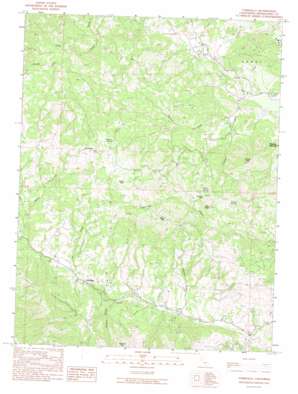
Yorkville Topo Map California
To zoom in, hover over the map of Yorkville
USGS Topo Quad 38123h2 - 1:24,000 scale
| Topo Map Name: | Yorkville |
| USGS Topo Quad ID: | 38123h2 |
| Print Size: | ca. 21 1/4" wide x 27" high |
| Southeast Coordinates: | 38.875° N latitude / 123.125° W longitude |
| Map Center Coordinates: | 38.9375° N latitude / 123.1875° W longitude |
| U.S. State: | CA |
| Filename: | o38123h2.jpg |
| Download Map JPG Image: | Yorkville topo map 1:24,000 scale |
| Map Type: | Topographic |
| Topo Series: | 7.5´ |
| Map Scale: | 1:24,000 |
| Source of Map Images: | United States Geological Survey (USGS) |
| Alternate Map Versions: |
Yorkville CA 1991, updated 1991 Download PDF Buy paper map Yorkville CA 2012 Download PDF Buy paper map Yorkville CA 2015 Download PDF Buy paper map |
1:24,000 Topo Quads surrounding Yorkville
> Back to 38123e1 at 1:100,000 scale
> Back to 38122a1 at 1:250,000 scale
> Back to U.S. Topo Maps home
Yorkville topo map: Gazetteer
Yorkville: Populated Places
Crittendon (historical) elevation 197m 646′Ingram elevation 256m 839′
The Oaks elevation 330m 1082′
Yorkville elevation 281m 921′
Yorkville: Springs
Hilltop Spring elevation 684m 2244′Pregnant Spring elevation 877m 2877′
Saddle Spring elevation 758m 2486′
Yorkville: Streams
Duncan Creek elevation 158m 518′Elkhorn Creek elevation 265m 869′
Ingram Creek elevation 243m 797′
Johnson Creek elevation 169m 554′
Middle Fork Feliz Creek elevation 265m 869′
Young Creek elevation 231m 757′
Yorkville: Summits
Duncan Peak elevation 747m 2450′Jeep Peak elevation 733m 2404′
Lookout Mountain elevation 758m 2486′
Sanel Mountain elevation 994m 3261′
Snow Mountain elevation 950m 3116′
Ward Mountain elevation 910m 2985′
Yorkville digital topo map on disk
Buy this Yorkville topo map showing relief, roads, GPS coordinates and other geographical features, as a high-resolution digital map file on DVD:


