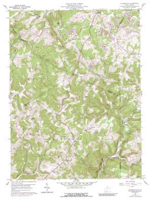
Gladesville Topo Map West Virginia
To zoom in, hover over the map of Gladesville
USGS Topo Quad 39079d8 - 1:24,000 scale
| Topo Map Name: | Gladesville |
| USGS Topo Quad ID: | 39079d8 |
| Print Size: | ca. 21 1/4" wide x 27" high |
| Southeast Coordinates: | 39.375° N latitude / 79.875° W longitude |
| Map Center Coordinates: | 39.4375° N latitude / 79.9375° W longitude |
| U.S. State: | WV |
| Filename: | o39079d8.jpg |
| Download Map JPG Image: | Gladesville topo map 1:24,000 scale |
| Map Type: | Topographic |
| Topo Series: | 7.5´ |
| Map Scale: | 1:24,000 |
| Source of Map Images: | United States Geological Survey (USGS) |
| Alternate Map Versions: |
Gladesville WV 1960, updated 1961 Download PDF Buy paper map Gladesville WV 1960, updated 1970 Download PDF Buy paper map Gladesville WV 1960, updated 1977 Download PDF Buy paper map Gladesville WV 1960, updated 1989 Download PDF Buy paper map Gladesville WV 2011 Download PDF Buy paper map Gladesville WV 2014 Download PDF Buy paper map Gladesville WV 2016 Download PDF Buy paper map |
1:24,000 Topo Quads surrounding Gladesville
> Back to 39079a1 at 1:100,000 scale
> Back to 39078a1 at 1:250,000 scale
> Back to U.S. Topo Maps home
Gladesville topo map: Gazetteer
Gladesville: Dams
Laurel Run Lake Dam elevation 388m 1272′Gladesville: Populated Places
Browns Chapel elevation 597m 1958′Gladesville elevation 538m 1765′
Halleck elevation 583m 1912′
Hardman elevation 339m 1112′
Irontown elevation 331m 1085′
Triune elevation 509m 1669′
Victoria elevation 382m 1253′
Gladesville: Springs
Manacea Spring elevation 368m 1207′Gladesville: Streams
Cherry Run elevation 445m 1459′Laurel Run elevation 352m 1154′
Laurel Run elevation 360m 1181′
Little Laurel Run elevation 325m 1066′
Maple Run elevation 407m 1335′
Raccoon Creek elevation 334m 1095′
Gladesville: Summits
Kincaid Knob elevation 579m 1899′Gladesville digital topo map on disk
Buy this Gladesville topo map showing relief, roads, GPS coordinates and other geographical features, as a high-resolution digital map file on DVD:


