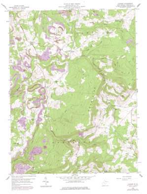
Cuzzart Topo Map West Virginia
To zoom in, hover over the map of Cuzzart
USGS Topo Quad 39079e5 - 1:24,000 scale
| Topo Map Name: | Cuzzart |
| USGS Topo Quad ID: | 39079e5 |
| Print Size: | ca. 21 1/4" wide x 27" high |
| Southeast Coordinates: | 39.5° N latitude / 79.5° W longitude |
| Map Center Coordinates: | 39.5625° N latitude / 79.5625° W longitude |
| U.S. State: | WV |
| Filename: | o39079e5.jpg |
| Download Map JPG Image: | Cuzzart topo map 1:24,000 scale |
| Map Type: | Topographic |
| Topo Series: | 7.5´ |
| Map Scale: | 1:24,000 |
| Source of Map Images: | United States Geological Survey (USGS) |
| Alternate Map Versions: |
Cuzzart WV 1959, updated 1961 Download PDF Buy paper map Cuzzart WV 1959, updated 1968 Download PDF Buy paper map Cuzzart WV 1959, updated 1977 Download PDF Buy paper map Cuzzart WV 1959, updated 1998 Download PDF Buy paper map Cuzzart WV 1997, updated 2002 Download PDF Buy paper map Cuzzart WV 2011 Download PDF Buy paper map Cuzzart WV 2014 Download PDF Buy paper map Cuzzart WV 2016 Download PDF Buy paper map |
1:24,000 Topo Quads surrounding Cuzzart
> Back to 39079e1 at 1:100,000 scale
> Back to 39078a1 at 1:250,000 scale
> Back to U.S. Topo Maps home
Cuzzart topo map: Gazetteer
Cuzzart: Dams
Big Bear Lake Dam elevation 795m 2608′Cuzzart: Populated Places
Afton elevation 815m 2673′Cuzzart elevation 643m 2109′
Dority elevation 689m 2260′
Guseman (historical) elevation 498m 1633′
Lenox elevation 642m 2106′
Morgans Glade elevation 560m 1837′
Mountain Dale elevation 760m 2493′
Orr elevation 725m 2378′
Cuzzart: Post Offices
Cuzzart Post Office elevation 641m 2103′Cuzzart: Reservoirs
Big Bear Lake elevation 795m 2608′Cuzzart: Streams
Glade Run elevation 531m 1742′Jump Rock Run elevation 616m 2020′
Lick Run elevation 535m 1755′
Little Lick Run elevation 551m 1807′
Sugarcomb Run elevation 638m 2093′
Cuzzart: Summits
Fike Hill elevation 943m 3093′Gregg Knob elevation 960m 3149′
Pine Swamp Knob elevation 944m 3097′
Cuzzart digital topo map on disk
Buy this Cuzzart topo map showing relief, roads, GPS coordinates and other geographical features, as a high-resolution digital map file on DVD:


