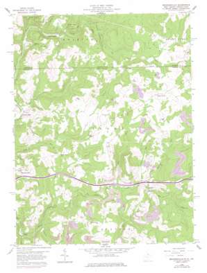
Brandonville Topo Map West Virginia
To zoom in, hover over the map of Brandonville
USGS Topo Quad 39079f5 - 1:24,000 scale
| Topo Map Name: | Brandonville |
| USGS Topo Quad ID: | 39079f5 |
| Print Size: | ca. 21 1/4" wide x 27" high |
| Southeast Coordinates: | 39.625° N latitude / 79.5° W longitude |
| Map Center Coordinates: | 39.6875° N latitude / 79.5625° W longitude |
| U.S. States: | WV, PA |
| Filename: | o39079f5.jpg |
| Download Map JPG Image: | Brandonville topo map 1:24,000 scale |
| Map Type: | Topographic |
| Topo Series: | 7.5´ |
| Map Scale: | 1:24,000 |
| Source of Map Images: | United States Geological Survey (USGS) |
| Alternate Map Versions: |
Brandonville WV 1959, updated 1960 Download PDF Buy paper map Brandonville WV 1959, updated 1966 Download PDF Buy paper map Brandonville WV 1959, updated 1975 Download PDF Buy paper map Brandonville WV 1959, updated 1978 Download PDF Buy paper map Brandonville WV 1959, updated 1984 Download PDF Buy paper map Brandonville WV 1959, updated 1998 Download PDF Buy paper map Brandonville WV 1997, updated 2002 Download PDF Buy paper map Brandonville WV 2011 Download PDF Buy paper map Brandonville WV 2014 Download PDF Buy paper map Brandonville WV 2016 Download PDF Buy paper map |
1:24,000 Topo Quads surrounding Brandonville
> Back to 39079e1 at 1:100,000 scale
> Back to 39078a1 at 1:250,000 scale
> Back to U.S. Topo Maps home
Brandonville topo map: Gazetteer
Brandonville: Crossings
Interchange 29 elevation 566m 1856′Brandonville: Parks
Bruceton Mills Wildlife Management Area elevation 590m 1935′Brandonville: Populated Places
Brandonville elevation 550m 1804′Clifton Mills elevation 471m 1545′
Five Forks elevation 672m 2204′
Five Forks elevation 670m 2198′
Gibbon Glade elevation 514m 1686′
Glade Farms elevation 645m 2116′
Glades elevation 629m 2063′
Hazelton elevation 571m 1873′
Salem elevation 633m 2076′
Wrights (historical) elevation 677m 2221′
Zar (historical) elevation 625m 2050′
Brandonville: Post Offices
Hazelton Post Office elevation 576m 1889′Brandonville: Streams
Barnes Run elevation 516m 1692′Beaver Creek elevation 508m 1666′
Cherry Run elevation 561m 1840′
Elk Run elevation 558m 1830′
Fike Run elevation 591m 1938′
Fike Run elevation 557m 1827′
Hog Run elevation 558m 1830′
Mill Run elevation 561m 1840′
Piney Run elevation 562m 1843′
Brandonville: Summits
Kelley Knob elevation 712m 2335′Brandonville digital topo map on disk
Buy this Brandonville topo map showing relief, roads, GPS coordinates and other geographical features, as a high-resolution digital map file on DVD:


