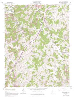
Mount Clare Topo Map West Virginia
To zoom in, hover over the map of Mount Clare
USGS Topo Quad 39080b3 - 1:24,000 scale
| Topo Map Name: | Mount Clare |
| USGS Topo Quad ID: | 39080b3 |
| Print Size: | ca. 21 1/4" wide x 27" high |
| Southeast Coordinates: | 39.125° N latitude / 80.25° W longitude |
| Map Center Coordinates: | 39.1875° N latitude / 80.3125° W longitude |
| U.S. State: | WV |
| Filename: | o39080b3.jpg |
| Download Map JPG Image: | Mount Clare topo map 1:24,000 scale |
| Map Type: | Topographic |
| Topo Series: | 7.5´ |
| Map Scale: | 1:24,000 |
| Source of Map Images: | United States Geological Survey (USGS) |
| Alternate Map Versions: |
Mount Clare WV 1961, updated 1962 Download PDF Buy paper map Mount Clare WV 1961, updated 1970 Download PDF Buy paper map Mount Clare WV 1961, updated 1978 Download PDF Buy paper map Mount Clare WV 2011 Download PDF Buy paper map Mount Clare WV 2014 Download PDF Buy paper map Mount Clare WV 2016 Download PDF Buy paper map |
1:24,000 Topo Quads surrounding Mount Clare
> Back to 39080a1 at 1:100,000 scale
> Back to 39080a1 at 1:250,000 scale
> Back to U.S. Topo Maps home
Mount Clare topo map: Gazetteer
Mount Clare: Crossings
Interchange 110 elevation 322m 1056′Interchange 115 elevation 309m 1013′
Mount Clare: Populated Places
Center Branch elevation 297m 974′Craigmoor elevation 318m 1043′
Lost Creek elevation 311m 1020′
Mount Clare elevation 311m 1020′
Quiet Dell elevation 322m 1056′
Rider elevation 322m 1056′
Rockford elevation 323m 1059′
Romines Mills elevation 323m 1059′
Spring Hill Chapel elevation 310m 1017′
Mount Clare: Springs
William Cunningham Spring elevation 338m 1108′Mount Clare: Streams
Bonds Run elevation 308m 1010′Browns Creek elevation 286m 938′
Brushy Fork elevation 294m 964′
Chub Run elevation 299m 980′
Fall Run elevation 306m 1003′
Gnatty Creek elevation 307m 1007′
Hastings Run elevation 307m 1007′
Hooppole Run elevation 293m 961′
Rooting Creek elevation 309m 1013′
Stevens Run elevation 307m 1007′
Stouts Run elevation 307m 1007′
Suds Run elevation 312m 1023′
Turkey Run elevation 291m 954′
Zachs Run elevation 299m 980′
Mount Clare digital topo map on disk
Buy this Mount Clare topo map showing relief, roads, GPS coordinates and other geographical features, as a high-resolution digital map file on DVD:


