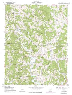
Alfred Topo Map Ohio
To zoom in, hover over the map of Alfred
USGS Topo Quad 39081b8 - 1:24,000 scale
| Topo Map Name: | Alfred |
| USGS Topo Quad ID: | 39081b8 |
| Print Size: | ca. 21 1/4" wide x 27" high |
| Southeast Coordinates: | 39.125° N latitude / 81.875° W longitude |
| Map Center Coordinates: | 39.1875° N latitude / 81.9375° W longitude |
| U.S. State: | OH |
| Filename: | o39081b8.jpg |
| Download Map JPG Image: | Alfred topo map 1:24,000 scale |
| Map Type: | Topographic |
| Topo Series: | 7.5´ |
| Map Scale: | 1:24,000 |
| Source of Map Images: | United States Geological Survey (USGS) |
| Alternate Map Versions: |
Alfred OH 1960, updated 1961 Download PDF Buy paper map Alfred OH 1960, updated 1970 Download PDF Buy paper map Alfred OH 1960, updated 1977 Download PDF Buy paper map Alfred OH 1994, updated 1998 Download PDF Buy paper map Alfred OH 2010 Download PDF Buy paper map Alfred OH 2013 Download PDF Buy paper map Alfred OH 2016 Download PDF Buy paper map |
1:24,000 Topo Quads surrounding Alfred
> Back to 39081a1 at 1:100,000 scale
> Back to 39080a1 at 1:250,000 scale
> Back to U.S. Topo Maps home
Alfred topo map: Gazetteer
Alfred: Airports
Miller Airport elevation 208m 682′Alfred: Bridges
Blackwood Bridge elevation 201m 659′Alfred: Lakes
Buck Lake elevation 214m 702′Alfred: Populated Places
Alfred elevation 213m 698′Anthony elevation 280m 918′
Bucks Mill elevation 199m 652′
Flora elevation 252m 826′
Garden elevation 219m 718′
Lottridge elevation 224m 734′
Meigs elevation 192m 629′
Sumner elevation 212m 695′
Alfred: Post Offices
Alfred Post Office (historical) elevation 212m 695′Anthony Post Office (historical) elevation 272m 892′
Flora Post Office (historical) elevation 258m 846′
Garden Post Office (historical) elevation 213m 698′
Lottridge Post Office (historical) elevation 223m 731′
Sumner Post Office (historical) elevation 218m 715′
Alfred: Ridges
Bearwallow Ridge elevation 288m 944′Cherry Ridge elevation 281m 921′
Dutch Ridge elevation 281m 921′
Silver Ridge elevation 276m 905′
Alfred: Streams
Big Run elevation 193m 633′Elk Run elevation 197m 646′
Guthrie Creek elevation 190m 623′
Joes Creek elevation 182m 597′
Meigs Creek elevation 189m 620′
Pratts Fork elevation 201m 659′
Wolfpen Run elevation 200m 656′
Alfred: Summits
Jasper Hill elevation 273m 895′Alfred: Valleys
Dog Hollow elevation 224m 734′Kappel Hollow elevation 193m 633′
Palk Hollow elevation 195m 639′
Alfred digital topo map on disk
Buy this Alfred topo map showing relief, roads, GPS coordinates and other geographical features, as a high-resolution digital map file on DVD:


