Keytesville Topo Map Missouri
To zoom in, hover over the map of Keytesville
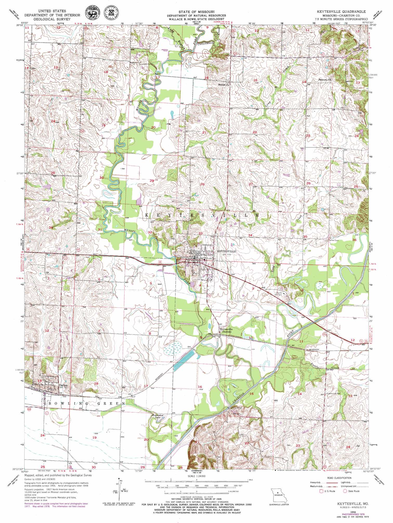
USGS Topo Quad 39092d8 - 1:24,000 scale
| Topo Map Name: | Keytesville |
| USGS Topo Quad ID: | 39092d8 |
| Print Size: | ca. 21 1/4" wide x 27" high |
| Southeast Coordinates: | 39.375° N latitude / 92.875° W longitude |
| Map Center Coordinates: | 39.4375° N latitude / 92.9375° W longitude |
| U.S. State: | MO |
| Filename: | o39092d8.jpg |
| Download Map JPG Image: | Keytesville topo map 1:24,000 scale |
| Map Type: | Topographic |
| Topo Series: | 7.5´ |
| Map Scale: | 1:24,000 |
| Source of Map Images: | United States Geological Survey (USGS) |
| Alternate Map Versions: |
Keytesville MO 1956, updated 1957 Download PDF Buy paper map Keytesville MO 1956, updated 1979 Download PDF Buy paper map Keytesville MO 2012 Download PDF Buy paper map Keytesville MO 2014 Download PDF Buy paper map |
1:24,000 Topo Quads surrounding Keytesville
Sumner |
Rothville |
Marceline |
Wien |
Lagonda |
Mendon |
Indian Grove |
Mike |
Bynumville |
Prairie Hill |
Brunswick West |
Brunswick East |
Keytesville |
Salisbury |
Clifton Hill |
Miami |
New Frankfort |
Cambridge |
Forest Green |
Armstrong |
Marshall North |
Slater |
Saline City |
Glasgow |
Fayette |
> Back to 39092a1 at 1:100,000 scale
> Back to 39092a1 at 1:250,000 scale
> Back to U.S. Topo Maps home
Keytesville topo map: Gazetteer
Keytesville: Bridges
Price Bridge elevation 189m 620′Keytesville: Lakes
Horseshoe Lake elevation 189m 620′Keytesville: Populated Places
Dalton elevation 213m 698′Keytesville elevation 216m 708′
Keytesville: Streams
Cottonwood Creek elevation 194m 636′Long Branch elevation 195m 639′
Long Creek elevation 188m 616′
Mussel Fork elevation 191m 626′
Puzzle Creek elevation 189m 620′
Keytesville digital topo map on disk
Buy this Keytesville topo map showing relief, roads, GPS coordinates and other geographical features, as a high-resolution digital map file on DVD: