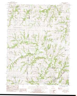
Elmira Topo Map Missouri
To zoom in, hover over the map of Elmira
USGS Topo Quad 39094e2 - 1:24,000 scale
| Topo Map Name: | Elmira |
| USGS Topo Quad ID: | 39094e2 |
| Print Size: | ca. 21 1/4" wide x 27" high |
| Southeast Coordinates: | 39.5° N latitude / 94.125° W longitude |
| Map Center Coordinates: | 39.5625° N latitude / 94.1875° W longitude |
| U.S. State: | MO |
| Filename: | o39094e2.jpg |
| Download Map JPG Image: | Elmira topo map 1:24,000 scale |
| Map Type: | Topographic |
| Topo Series: | 7.5´ |
| Map Scale: | 1:24,000 |
| Source of Map Images: | United States Geological Survey (USGS) |
| Alternate Map Versions: |
Elmira MO 1984, updated 1984 Download PDF Buy paper map Elmira MO 2012 Download PDF Buy paper map Elmira MO 2014 Download PDF Buy paper map |
1:24,000 Topo Quads surrounding Elmira
> Back to 39094e1 at 1:100,000 scale
> Back to 39094a1 at 1:250,000 scale
> Back to U.S. Topo Maps home
Elmira topo map: Gazetteer
Elmira: Airports
Martins Airport elevation 307m 1007′Mayes Homestead Airport elevation 306m 1003′
Elmira: Dams
Pallas Lake Dam elevation 283m 928′Timber Lake Dam elevation 281m 921′
Elmira: Populated Places
Barnesville elevation 300m 984′Elmira elevation 291m 954′
Mirabile elevation 300m 984′
Plainview elevation 318m 1043′
Prairie Ridge elevation 313m 1026′
Elmira: Reservoirs
Pallas Lake elevation 283m 928′Timber Lake elevation 281m 921′
Elmira: Streams
Brushy Creek elevation 272m 892′Burnt Fork elevation 266m 872′
South Prong Crooked River elevation 272m 892′
Spring Branch elevation 276m 905′
Stevenson Creek elevation 276m 905′
Elmira digital topo map on disk
Buy this Elmira topo map showing relief, roads, GPS coordinates and other geographical features, as a high-resolution digital map file on DVD:


