Big Gulch Topo Map Colorado
To zoom in, hover over the map of Big Gulch
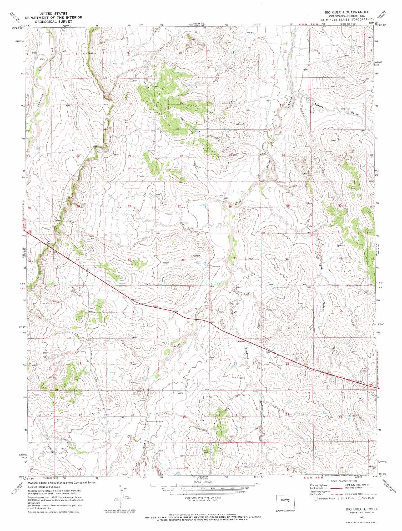
USGS Topo Quad 39104c3 - 1:24,000 scale
| Topo Map Name: | Big Gulch |
| USGS Topo Quad ID: | 39104c3 |
| Print Size: | ca. 21 1/4" wide x 27" high |
| Southeast Coordinates: | 39.25° N latitude / 104.25° W longitude |
| Map Center Coordinates: | 39.3125° N latitude / 104.3125° W longitude |
| U.S. State: | CO |
| Filename: | o39104c3.jpg |
| Download Map JPG Image: | Big Gulch topo map 1:24,000 scale |
| Map Type: | Topographic |
| Topo Series: | 7.5´ |
| Map Scale: | 1:24,000 |
| Source of Map Images: | United States Geological Survey (USGS) |
| Alternate Map Versions: |
Big Gulch CO 1970, updated 1973 Download PDF Buy paper map Big Gulch CO 2010 Download PDF Buy paper map Big Gulch CO 2013 Download PDF Buy paper map Big Gulch CO 2016 Download PDF Buy paper map |
1:24,000 Topo Quads surrounding Big Gulch
Watkins Se |
Strasburg Sw |
Strasburg Se |
Byers Sw |
Deer Trail |
Cabin Gulch |
Kiowa Nw |
Kiowa Ne |
Bijou |
Cattle Gulch |
Elizabeth |
Kiowa |
Big Gulch |
Bijou Sw |
Kuhns Crossing |
Elbert |
Bijou Basin |
Fondis |
Ramah North |
Simla |
Eastonville |
Peyton |
Calhan |
Ramah South |
Alta Vista |
> Back to 39104a1 at 1:100,000 scale
> Back to 39104a1 at 1:250,000 scale
> Back to U.S. Topo Maps home
Big Gulch topo map: Gazetteer
Big Gulch: Dams
Maguire Dam elevation 1811m 5941′Big Gulch: Mines
Stander Mine elevation 1805m 5921′Big Gulch: Reservoirs
Maguire Reservoir elevation 1811m 5941′Big Gulch: Streams
Spring Branch elevation 1825m 5987′Big Gulch: Valleys
Big Gulch elevation 1778m 5833′Spring Gulch elevation 1763m 5784′
Station Gulch elevation 1791m 5875′
Big Gulch digital topo map on disk
Buy this Big Gulch topo map showing relief, roads, GPS coordinates and other geographical features, as a high-resolution digital map file on DVD: