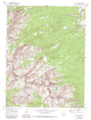
Willow Lakes Topo Map Colorado
To zoom in, hover over the map of Willow Lakes
USGS Topo Quad 39106f2 - 1:24,000 scale
| Topo Map Name: | Willow Lakes |
| USGS Topo Quad ID: | 39106f2 |
| Print Size: | ca. 21 1/4" wide x 27" high |
| Southeast Coordinates: | 39.625° N latitude / 106.125° W longitude |
| Map Center Coordinates: | 39.6875° N latitude / 106.1875° W longitude |
| U.S. State: | CO |
| Filename: | o39106f2.jpg |
| Download Map JPG Image: | Willow Lakes topo map 1:24,000 scale |
| Map Type: | Topographic |
| Topo Series: | 7.5´ |
| Map Scale: | 1:24,000 |
| Source of Map Images: | United States Geological Survey (USGS) |
| Alternate Map Versions: |
Willow Lakes CO 1970, updated 1973 Download PDF Buy paper map Willow Lakes CO 1970, updated 1986 Download PDF Buy paper map Willow Lakes CO 1970, updated 1988 Download PDF Buy paper map Willow Lakes CO 1970, updated 1988 Download PDF Buy paper map Willow Lakes CO 2011 Download PDF Buy paper map Willow Lakes CO 2013 Download PDF Buy paper map Willow Lakes CO 2016 Download PDF Buy paper map |
| FStopo: | US Forest Service topo Willow Lakes is available: Download FStopo PDF Download FStopo TIF |
1:24,000 Topo Quads surrounding Willow Lakes
> Back to 39106e1 at 1:100,000 scale
> Back to 39106a1 at 1:250,000 scale
> Back to U.S. Topo Maps home
Willow Lakes topo map: Gazetteer
Willow Lakes: Lakes
Boulder Lake elevation 2972m 9750′Deluge Lake elevation 3582m 11751′
Gore Lake elevation 3472m 11391′
Ruby Lake elevation 3350m 10990′
Salmon Lake elevation 3410m 11187′
Slate Lake elevation 3017m 9898′
Snow Lake elevation 3643m 11952′
Willow Lakes elevation 3460m 11351′
Willow Lakes: Mines
Boss Mine elevation 3126m 10255′Willow Lakes: Streams
Boulder Creek elevation 2560m 8398′Deluge Creek elevation 2852m 9356′
North Rock Creek elevation 2615m 8579′
Pebble Creek elevation 2572m 8438′
Quaking Asp Creek elevation 2573m 8441′
Rock Creek elevation 2574m 8444′
South Rock Creek elevation 2615m 8579′
Willow Lakes: Summits
Keller Mountain elevation 3985m 13074′Red Peak elevation 4004m 13136′
Willow Lakes: Trails
Slate Creek Trail elevation 2831m 9288′Willow Lakes digital topo map on disk
Buy this Willow Lakes topo map showing relief, roads, GPS coordinates and other geographical features, as a high-resolution digital map file on DVD:


