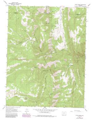
Stony Ridge Topo Map Colorado
To zoom in, hover over the map of Stony Ridge
USGS Topo Quad 39107c3 - 1:24,000 scale
| Topo Map Name: | Stony Ridge |
| USGS Topo Quad ID: | 39107c3 |
| Print Size: | ca. 21 1/4" wide x 27" high |
| Southeast Coordinates: | 39.25° N latitude / 107.25° W longitude |
| Map Center Coordinates: | 39.3125° N latitude / 107.3125° W longitude |
| U.S. State: | CO |
| Filename: | o39107c3.jpg |
| Download Map JPG Image: | Stony Ridge topo map 1:24,000 scale |
| Map Type: | Topographic |
| Topo Series: | 7.5´ |
| Map Scale: | 1:24,000 |
| Source of Map Images: | United States Geological Survey (USGS) |
| Alternate Map Versions: |
Stony Ridge CO 1963, updated 1967 Download PDF Buy paper map Stony Ridge CO 1963, updated 1984 Download PDF Buy paper map Stony Ridge CO 1963, updated 1988 Download PDF Buy paper map Stony Ridge CO 2011 Download PDF Buy paper map Stony Ridge CO 2013 Download PDF Buy paper map Stony Ridge CO 2016 Download PDF Buy paper map |
| FStopo: | US Forest Service topo Stony Ridge is available: Download FStopo PDF Download FStopo TIF |
1:24,000 Topo Quads surrounding Stony Ridge
> Back to 39107a1 at 1:100,000 scale
> Back to 39106a1 at 1:250,000 scale
> Back to U.S. Topo Maps home
Stony Ridge topo map: Gazetteer
Stony Ridge: Flats
Jerome Park elevation 2346m 7696′Parsnip Flat elevation 2508m 8228′
Willow Park elevation 2197m 7208′
Stony Ridge: Mines
Anderson Mine elevation 2425m 7956′Marion Mine elevation 2544m 8346′
Spring Gulch Mine elevation 2636m 8648′
Sunshine Mine elevation 2427m 7962′
Thompson Creek Mine elevation 2325m 7627′
Thompson Creek Number One Mine elevation 2354m 7723′
Thompson Creek Number Three Mine elevation 2406m 7893′
Union Mine elevation 2590m 8497′
Stony Ridge: Reservoirs
Lake Ridge Lakes elevation 2865m 9399′Stony Ridge: Ridges
Assignation Ridge elevation 2635m 8645′Stony Ridge elevation 2991m 9812′
Stony Ridge: Streams
Calf Creek elevation 2524m 8280′Dexter Creek elevation 2777m 9110′
Middle Thompson Creek elevation 2171m 7122′
North Thompson Creek elevation 2131m 6991′
Sand Creek elevation 2498m 8195′
South Branch Middle Thompson Creek elevation 2414m 7919′
South Thompson Creek elevation 2171m 7122′
Yank Creek elevation 2500m 8202′
Stony Ridge: Valleys
Aspen Gulch elevation 2366m 7762′Marion Gulch elevation 2444m 8018′
Spring Gulch elevation 2367m 7765′
Stony Ridge digital topo map on disk
Buy this Stony Ridge topo map showing relief, roads, GPS coordinates and other geographical features, as a high-resolution digital map file on DVD:


