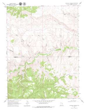
Pinnacle Canyon Topo Map Utah
To zoom in, hover over the map of Pinnacle Canyon
USGS Topo Quad 39110g1 - 1:24,000 scale
| Topo Map Name: | Pinnacle Canyon |
| USGS Topo Quad ID: | 39110g1 |
| Print Size: | ca. 21 1/4" wide x 27" high |
| Southeast Coordinates: | 39.75° N latitude / 110° W longitude |
| Map Center Coordinates: | 39.8125° N latitude / 110.0625° W longitude |
| U.S. State: | UT |
| Filename: | o39110g1.jpg |
| Download Map JPG Image: | Pinnacle Canyon topo map 1:24,000 scale |
| Map Type: | Topographic |
| Topo Series: | 7.5´ |
| Map Scale: | 1:24,000 |
| Source of Map Images: | United States Geological Survey (USGS) |
| Alternate Map Versions: |
Pinnacle Canyon UT 1968, updated 1971 Download PDF Buy paper map Pinnacle Canyon UT 1968, updated 1979 Download PDF Buy paper map Pinnacle Canyon UT 2011 Download PDF Buy paper map Pinnacle Canyon UT 2014 Download PDF Buy paper map |
1:24,000 Topo Quads surrounding Pinnacle Canyon
> Back to 39110e1 at 1:100,000 scale
> Back to 39110a1 at 1:250,000 scale
> Back to U.S. Topo Maps home
Pinnacle Canyon topo map: Gazetteer
Pinnacle Canyon: Pillars
Pinnacle elevation 1705m 5593′Pinnacle Canyon: Valleys
Bulls Canyon elevation 1532m 5026′Desbrough Canyon elevation 1573m 5160′
Devils Canyon elevation 1606m 5269′
North Franks Canyon elevation 1565m 5134′
North Maxie Canyon elevation 1544m 5065′
Pinnacle Canyon elevation 1597m 5239′
South Franks Canyon elevation 1571m 5154′
South Maxie Canyon elevation 1561m 5121′
Pinnacle Canyon digital topo map on disk
Buy this Pinnacle Canyon topo map showing relief, roads, GPS coordinates and other geographical features, as a high-resolution digital map file on DVD:


