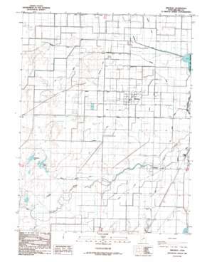
Hinckley Topo Map Utah
To zoom in, hover over the map of Hinckley
USGS Topo Quad 39112c6 - 1:24,000 scale
| Topo Map Name: | Hinckley |
| USGS Topo Quad ID: | 39112c6 |
| Print Size: | ca. 21 1/4" wide x 27" high |
| Southeast Coordinates: | 39.25° N latitude / 112.625° W longitude |
| Map Center Coordinates: | 39.3125° N latitude / 112.6875° W longitude |
| U.S. State: | UT |
| Filename: | o39112c6.jpg |
| Download Map JPG Image: | Hinckley topo map 1:24,000 scale |
| Map Type: | Topographic |
| Topo Series: | 7.5´ |
| Map Scale: | 1:24,000 |
| Source of Map Images: | United States Geological Survey (USGS) |
| Alternate Map Versions: |
Hinckley UT 1986, updated 1987 Download PDF Buy paper map Hinckley UT 2010 Download PDF Buy paper map Hinckley UT 2014 Download PDF Buy paper map |
1:24,000 Topo Quads surrounding Hinckley
> Back to 39112a1 at 1:100,000 scale
> Back to 39112a1 at 1:250,000 scale
> Back to U.S. Topo Maps home
Hinckley topo map: Gazetteer
Hinckley: Canals
Blake Ditch elevation 1402m 4599′Bliss Canal elevation 1397m 4583′
Center Ditch elevation 1398m 4586′
Dameron Ditch elevation 1398m 4586′
Deseret Canal elevation 1399m 4589′
Highline Canal elevation 1405m 4609′
Langston Ditch elevation 1400m 4593′
Lee Ditch elevation 1396m 4580′
Lowline Canal elevation 1403m 4603′
Neeley Ditch elevation 1402m 4599′
Nielson Ditch elevation 1400m 4593′
North Ditch elevation 1396m 4580′
Old Canal elevation 1399m 4589′
Pete Black Cut elevation 1394m 4573′
South Hinckley Canal elevation 1397m 4583′
Town Ditch elevation 1398m 4586′
Will Ruben Canal elevation 1402m 4599′
Hinckley: Lakes
Cockleburr Lake elevation 1392m 4566′Deep Lake elevation 1392m 4566′
Hinckley: Parks
Fort Deseret State Park elevation 1397m 4583′Hinckley: Populated Places
Deseret elevation 1399m 4589′Hinckley elevation 1403m 4603′
Oasis elevation 1399m 4589′
Hinckley digital topo map on disk
Buy this Hinckley topo map showing relief, roads, GPS coordinates and other geographical features, as a high-resolution digital map file on DVD:


