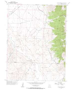
Coyote Springs Topo Map Utah
To zoom in, hover over the map of Coyote Springs
USGS Topo Quad 39112h7 - 1:24,000 scale
| Topo Map Name: | Coyote Springs |
| USGS Topo Quad ID: | 39112h7 |
| Print Size: | ca. 21 1/4" wide x 27" high |
| Southeast Coordinates: | 39.875° N latitude / 112.75° W longitude |
| Map Center Coordinates: | 39.9375° N latitude / 112.8125° W longitude |
| U.S. State: | UT |
| Filename: | o39112h7.jpg |
| Download Map JPG Image: | Coyote Springs topo map 1:24,000 scale |
| Map Type: | Topographic |
| Topo Series: | 7.5´ |
| Map Scale: | 1:24,000 |
| Source of Map Images: | United States Geological Survey (USGS) |
| Alternate Map Versions: |
Coyote Springs UT 1955, updated 1957 Download PDF Buy paper map Coyote Springs UT 2010 Download PDF Buy paper map Coyote Springs UT 2014 Download PDF Buy paper map |
1:24,000 Topo Quads surrounding Coyote Springs
> Back to 39112e1 at 1:100,000 scale
> Back to 39112a1 at 1:250,000 scale
> Back to U.S. Topo Maps home
Coyote Springs topo map: Gazetteer
Coyote Springs: Gaps
The Shutoff elevation 1373m 4504′Coyote Springs: Ranges
Slow Elk Hills elevation 1462m 4796′Coyote Springs: Ridges
Snow Plow elevation 1551m 5088′Coyote Springs: Springs
Burnt Springs elevation 1738m 5702′Coyote Springs elevation 1752m 5748′
Sixmile Springs elevation 1776m 5826′
Coyote Springs: Streams
Dead Ox Creek elevation 1382m 4534′Indian Creek elevation 1385m 4543′
Coyote Springs: Summits
Cup Butte elevation 1597m 5239′Warehouse Rock elevation 1484m 4868′
Coyote Springs: Trails
Route of Pony Express elevation 1380m 4527′Coyote Springs: Valleys
Dead Ox Wash elevation 1385m 4543′Footes Canyon elevation 1632m 5354′
Grassy Canyon elevation 1720m 5643′
Indian Canyon elevation 1639m 5377′
Indian Wash elevation 1385m 4543′
Lost Canyon elevation 1693m 5554′
Raul Canyon elevation 1811m 5941′
Rocky Canyon elevation 1681m 5515′
Slow Elk Wash elevation 1375m 4511′
Coyote Springs: Wells
Government Well Number 36 elevation 1380m 4527′Coyote Springs digital topo map on disk
Buy this Coyote Springs topo map showing relief, roads, GPS coordinates and other geographical features, as a high-resolution digital map file on DVD:


