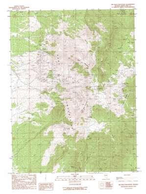
Big Bald Mountain Topo Map Nevada
To zoom in, hover over the map of Big Bald Mountain
USGS Topo Quad 39115h5 - 1:24,000 scale
| Topo Map Name: | Big Bald Mountain |
| USGS Topo Quad ID: | 39115h5 |
| Print Size: | ca. 21 1/4" wide x 27" high |
| Southeast Coordinates: | 39.875° N latitude / 115.5° W longitude |
| Map Center Coordinates: | 39.9375° N latitude / 115.5625° W longitude |
| U.S. State: | NV |
| Filename: | o39115h5.jpg |
| Download Map JPG Image: | Big Bald Mountain topo map 1:24,000 scale |
| Map Type: | Topographic |
| Topo Series: | 7.5´ |
| Map Scale: | 1:24,000 |
| Source of Map Images: | United States Geological Survey (USGS) |
| Alternate Map Versions: |
Big Bald Mountain NV 1990, updated 1990 Download PDF Buy paper map Big Bald Mountain NV 2012 Download PDF Buy paper map Big Bald Mountain NV 2014 Download PDF Buy paper map |
1:24,000 Topo Quads surrounding Big Bald Mountain
> Back to 39115e1 at 1:100,000 scale
> Back to 39114a1 at 1:250,000 scale
> Back to U.S. Topo Maps home
Big Bald Mountain topo map: Gazetteer
Big Bald Mountain: Mines
Carbonate Mine elevation 2421m 7942′Copper Basin Mine elevation 2418m 7933′
Crown Point Mine elevation 2306m 7565′
Dees Antimony Mine elevation 2737m 8979′
Dees Tungsten Mine elevation 2394m 7854′
Gold King Mine elevation 2262m 7421′
Nevada Mine elevation 2429m 7969′
Oddie Tunnel elevation 2286m 7500′
Water Canyon Placer Mine elevation 2180m 7152′
Big Bald Mountain: Populated Places
Joy (historical) elevation 2483m 8146′Big Bald Mountain: Post Offices
Joy Post Office (historical) elevation 2483m 8146′Big Bald Mountain: Springs
Bourne Tunnel Spring elevation 2236m 7335′Cherry Spring elevation 2293m 7522′
Mill Spring elevation 2238m 7342′
Big Bald Mountain: Summits
Big Bald Mountain elevation 2828m 9278′Little Bald Mountain elevation 2742m 8996′
Big Bald Mountain: Valleys
Bourne Canyon elevation 1976m 6482′Cherry Canyon elevation 2334m 7657′
Water Canyon elevation 2026m 6646′
Big Bald Mountain digital topo map on disk
Buy this Big Bald Mountain topo map showing relief, roads, GPS coordinates and other geographical features, as a high-resolution digital map file on DVD:


