Antelope Valley Topo Map California
To zoom in, hover over the map of Antelope Valley
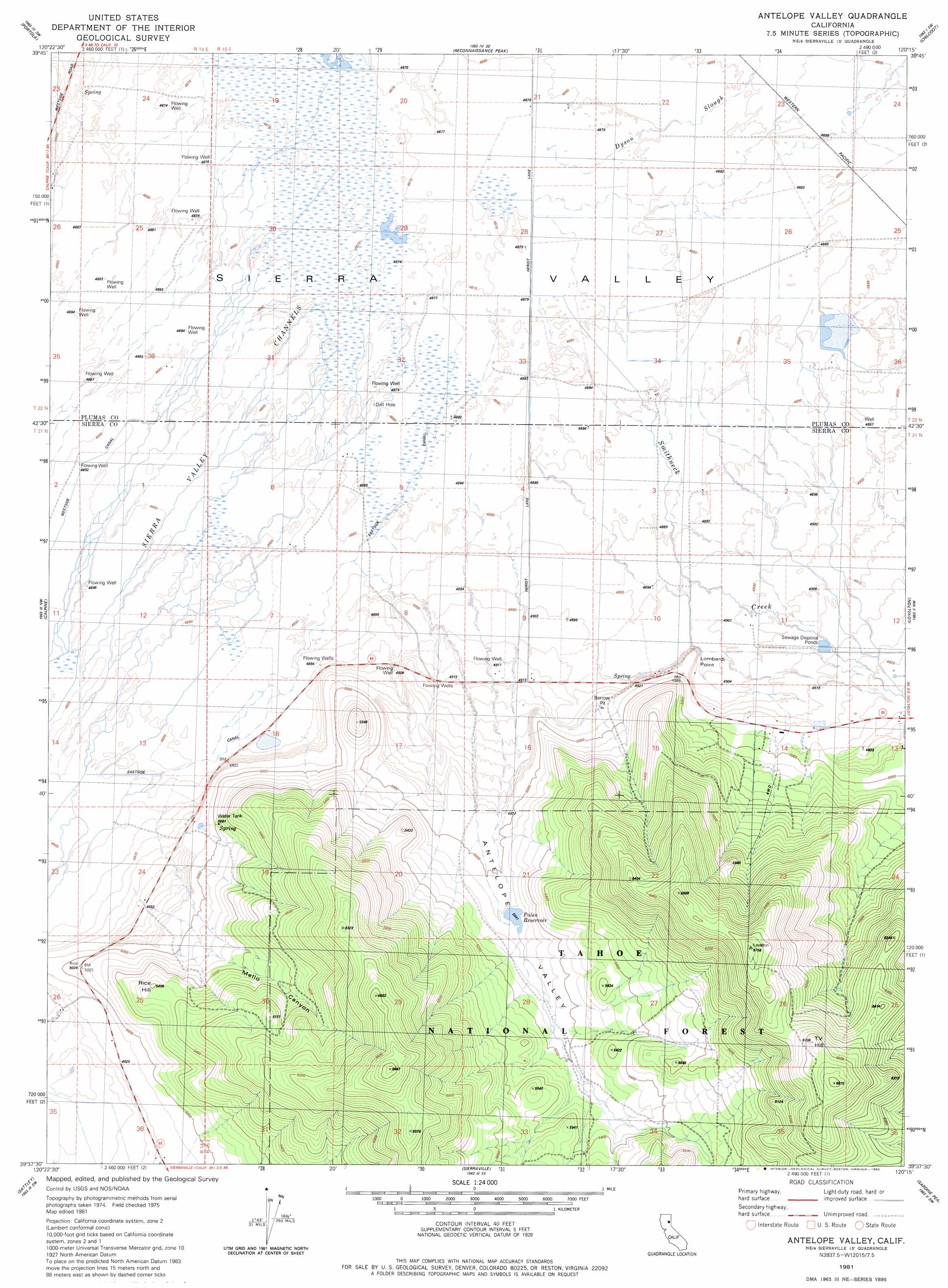
USGS Topo Quad 39120f3 - 1:24,000 scale
| Topo Map Name: | Antelope Valley |
| USGS Topo Quad ID: | 39120f3 |
| Print Size: | ca. 21 1/4" wide x 27" high |
| Southeast Coordinates: | 39.625° N latitude / 120.25° W longitude |
| Map Center Coordinates: | 39.6875° N latitude / 120.3125° W longitude |
| U.S. State: | CA |
| Filename: | o39120f3.jpg |
| Download Map JPG Image: | Antelope Valley topo map 1:24,000 scale |
| Map Type: | Topographic |
| Topo Series: | 7.5´ |
| Map Scale: | 1:24,000 |
| Source of Map Images: | United States Geological Survey (USGS) |
| Alternate Map Versions: |
Antelope Valley CA 1981, updated 1982 Download PDF Buy paper map Antelope Valley CA 1981, updated 1982 Download PDF Buy paper map Antelope Valley CA 1981, updated 1988 Download PDF Buy paper map Antelope Valley CA 2000, updated 2003 Download PDF Buy paper map Antelope Valley CA 2012 Download PDF Buy paper map Antelope Valley CA 2015 Download PDF Buy paper map |
| FStopo: | US Forest Service topo Antelope Valley is available: Download FStopo PDF Download FStopo TIF |
1:24,000 Topo Quads surrounding Antelope Valley
Grizzly Valley |
Crocker Mountain |
Dixie Mountain |
Frenchman Lake |
Constantia |
Blairsden |
Portola |
Reconnaissance Peak |
Chilcoot |
Beckwourth Pass |
Clio |
Calpine |
Antelope Valley |
Loyalton |
Evans Canyon |
Haypress Valley |
Sattley |
Sierraville |
Sardine Peak |
Dog Valley |
English Mountain |
Webber Peak |
Independence Lake |
Hobart Mills |
Boca |
> Back to 39120e1 at 1:100,000 scale
> Back to 39120a1 at 1:250,000 scale
> Back to U.S. Topo Maps home
Antelope Valley topo map: Gazetteer
Antelope Valley: Capes
Lombardi Point elevation 1547m 5075′Antelope Valley: Dams
Palen 290 Dam elevation 1546m 5072′Antelope Valley: Mines
Antelope Mine elevation 1614m 5295′Antelope Valley: Reservoirs
Palen Reservoir elevation 1539m 5049′Antelope Valley: Streams
Smithneck Creek elevation 1487m 4878′Antelope Valley: Summits
Rice Hill elevation 1638m 5374′Antelope Valley: Valleys
Antelope Valley elevation 1499m 4917′Mello Canyon elevation 1525m 5003′
Antelope Valley digital topo map on disk
Buy this Antelope Valley topo map showing relief, roads, GPS coordinates and other geographical features, as a high-resolution digital map file on DVD: