Piercy Topo Map California
To zoom in, hover over the map of Piercy
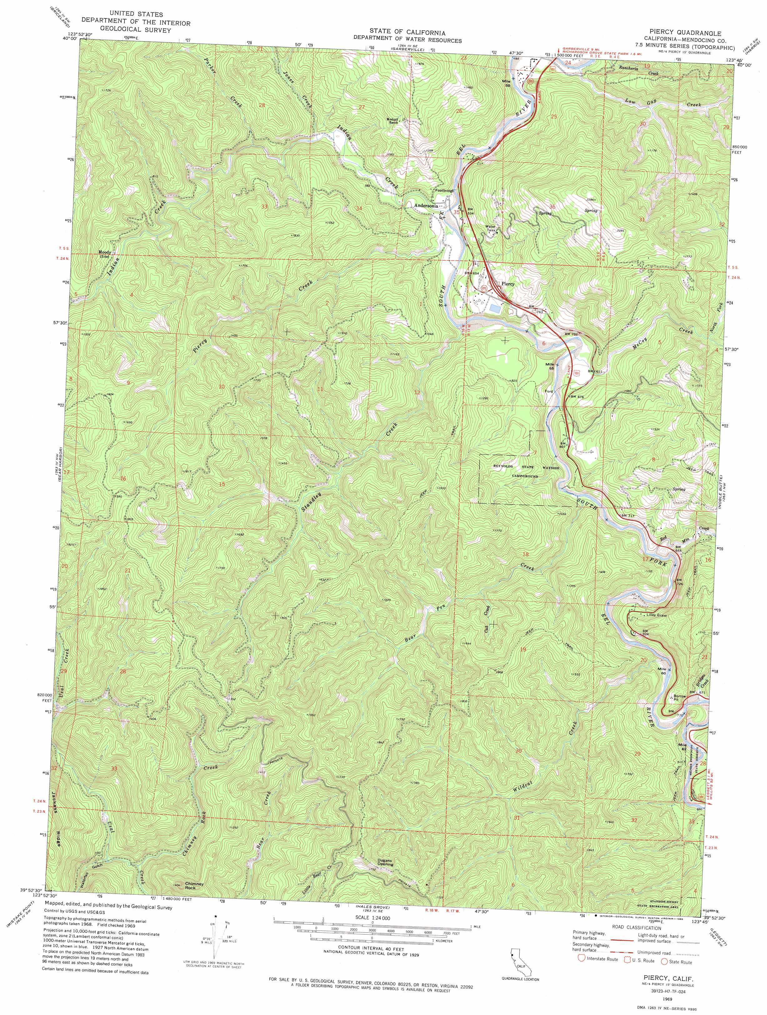
USGS Topo Quad 39123h7 - 1:24,000 scale
| Topo Map Name: | Piercy |
| USGS Topo Quad ID: | 39123h7 |
| Print Size: | ca. 21 1/4" wide x 27" high |
| Southeast Coordinates: | 39.875° N latitude / 123.75° W longitude |
| Map Center Coordinates: | 39.9375° N latitude / 123.8125° W longitude |
| U.S. State: | CA |
| Filename: | o39123h7.jpg |
| Download Map JPG Image: | Piercy topo map 1:24,000 scale |
| Map Type: | Topographic |
| Topo Series: | 7.5´ |
| Map Scale: | 1:24,000 |
| Source of Map Images: | United States Geological Survey (USGS) |
| Alternate Map Versions: |
Piercy CA 1969, updated 1974 Download PDF Buy paper map Piercy CA 1969, updated 1985 Download PDF Buy paper map Piercy CA 1969, updated 1994 Download PDF Buy paper map Piercy CA 2012 Download PDF Buy paper map Piercy CA 2015 Download PDF Buy paper map |
1:24,000 Topo Quads surrounding Piercy
Honeydew |
Ettersburg |
Miranda |
Fort Seward |
Alderpoint |
Shelter Cove |
Briceland |
Garberville |
Harris |
Jewett Rock |
Bear Harbor |
Piercy |
Noble Butte |
Bell Springs |
|
Mistake Point |
Hales Grove |
Leggett |
Tan Oak Park |
|
Westport |
Lincoln Ridge |
Cahto Peak |
> Back to 39123e1 at 1:100,000 scale
> Back to 39122a1 at 1:250,000 scale
> Back to U.S. Topo Maps home
Piercy topo map: Gazetteer
Piercy: Flats
Dugans Opening elevation 512m 1679′Piercy: Populated Places
Andersonia elevation 165m 541′Lane Redwood Flat (historical) elevation 206m 675′
Piercy elevation 242m 793′
Reynolds (historical) elevation 253m 830′
Piercy: Streams
Bear Pen Creek elevation 165m 541′Bridges Creek elevation 189m 620′
Chimney Rock Creek elevation 86m 282′
Cub Creek elevation 261m 856′
Dora Creek elevation 191m 626′
Indian Creek elevation 155m 508′
Jones Creek elevation 170m 557′
Low Gap Creek elevation 137m 449′
McCoy Creek elevation 166m 544′
North Fork McCoy Creek elevation 257m 843′
Parker Creek elevation 198m 649′
Piercy Creek elevation 159m 521′
Red Mountain Creek elevation 164m 538′
Standley Creek elevation 166m 544′
Wildcat Creek elevation 183m 600′
Piercy: Summits
Chimney Rock elevation 406m 1332′Piercy: Valleys
Waterfall Gulch elevation 115m 377′Piercy: Woods
Frank and Bess Smithe Redwood Grove elevation 200m 656′Piercy digital topo map on disk
Buy this Piercy topo map showing relief, roads, GPS coordinates and other geographical features, as a high-resolution digital map file on DVD: