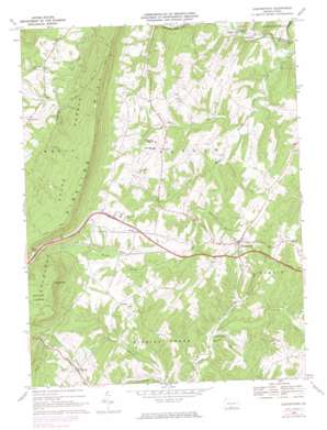
Hustontown Topo Map Pennsylvania
To zoom in, hover over the map of Hustontown
USGS Topo Quad 40078a1 - 1:24,000 scale
| Topo Map Name: | Hustontown |
| USGS Topo Quad ID: | 40078a1 |
| Print Size: | ca. 21 1/4" wide x 27" high |
| Southeast Coordinates: | 40° N latitude / 78° W longitude |
| Map Center Coordinates: | 40.0625° N latitude / 78.0625° W longitude |
| U.S. State: | PA |
| Filename: | o40078a1.jpg |
| Download Map JPG Image: | Hustontown topo map 1:24,000 scale |
| Map Type: | Topographic |
| Topo Series: | 7.5´ |
| Map Scale: | 1:24,000 |
| Source of Map Images: | United States Geological Survey (USGS) |
| Alternate Map Versions: |
Hustontown PA 1968, updated 1970 Download PDF Buy paper map Hustontown PA 1968, updated 1974 Download PDF Buy paper map Hustontown PA 1968, updated 1984 Download PDF Buy paper map Hustontown PA 1994, updated 1997 Download PDF Buy paper map Hustontown PA 2010 Download PDF Buy paper map Hustontown PA 2013 Download PDF Buy paper map Hustontown PA 2016 Download PDF Buy paper map |
1:24,000 Topo Quads surrounding Hustontown
> Back to 40078a1 at 1:100,000 scale
> Back to 40078a1 at 1:250,000 scale
> Back to U.S. Topo Maps home
Hustontown topo map: Gazetteer
Hustontown: Airports
Flying R Airport elevation 264m 866′Hustontown: Populated Places
Dublin Mills elevation 245m 803′Enid elevation 315m 1033′
Gracey elevation 336m 1102′
Hiram elevation 351m 1151′
Hustontown elevation 355m 1164′
Laidig elevation 347m 1138′
Mellotts Mill elevation 250m 820′
Saluvia elevation 307m 1007′
Hustontown: Ranges
Appalachian Mountains elevation 305m 1000′Hustontown: Streams
Elders Branch elevation 254m 833′Fortune Teller Creek elevation 250m 820′
Lamberson Branch elevation 272m 892′
Lick Branch elevation 425m 1394′
Mellotts Run elevation 248m 813′
Roaring Run elevation 298m 977′
Sipes Branch elevation 247m 810′
Wooden Bridge Creek elevation 231m 757′
Hustontown: Summits
King Knob elevation 638m 2093′Hustontown: Trails
Anderson Trail elevation 476m 1561′Cabin Trail elevation 533m 1748′
Ensley Trail elevation 486m 1594′
Green Trail elevation 441m 1446′
Keith Trail elevation 439m 1440′
Kings Trail elevation 623m 2043′
Mitchell Trail elevation 548m 1797′
Rocky Face Trail elevation 411m 1348′
Sciotha Trail elevation 462m 1515′
Winters Trail elevation 439m 1440′
Woodcock Trail elevation 455m 1492′
Hustontown digital topo map on disk
Buy this Hustontown topo map showing relief, roads, GPS coordinates and other geographical features, as a high-resolution digital map file on DVD:


