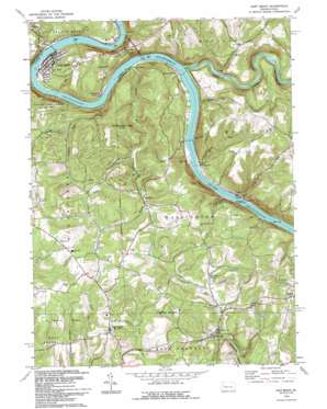
East Brady Topo Map Pennsylvania
To zoom in, hover over the map of East Brady
USGS Topo Quad 40079h5 - 1:24,000 scale
| Topo Map Name: | East Brady |
| USGS Topo Quad ID: | 40079h5 |
| Print Size: | ca. 21 1/4" wide x 27" high |
| Southeast Coordinates: | 40.875° N latitude / 79.5° W longitude |
| Map Center Coordinates: | 40.9375° N latitude / 79.5625° W longitude |
| U.S. State: | PA |
| Filename: | o40079h5.jpg |
| Download Map JPG Image: | East Brady topo map 1:24,000 scale |
| Map Type: | Topographic |
| Topo Series: | 7.5´ |
| Map Scale: | 1:24,000 |
| Source of Map Images: | United States Geological Survey (USGS) |
| Alternate Map Versions: |
East Brady PA 1963, updated 1964 Download PDF Buy paper map East Brady PA 1963, updated 1973 Download PDF Buy paper map East Brady PA 1993, updated 1993 Download PDF Buy paper map East Brady PA 2010 Download PDF Buy paper map East Brady PA 2013 Download PDF Buy paper map East Brady PA 2016 Download PDF Buy paper map |
1:24,000 Topo Quads surrounding East Brady
> Back to 40079e1 at 1:100,000 scale
> Back to 40078a1 at 1:250,000 scale
> Back to U.S. Topo Maps home
East Brady topo map: Gazetteer
East Brady: Airports
Offutt Acres Airport elevation 274m 898′Snyder Ranch Heliport elevation 417m 1368′
East Brady: Bends
Bradys Bend elevation 319m 1046′East Brady: Dams
Allegheny River Lock and Dam Nine elevation 244m 800′East Brady: Parks
Bradys Bend Iron Furnaces Historical Site elevation 284m 931′Washington Township Memorial Park elevation 446m 1463′
East Brady: Populated Places
Adrian elevation 319m 1046′Cosmus elevation 261m 856′
Cowansville elevation 416m 1364′
East Brady elevation 294m 964′
Frenchs Corners elevation 423m 1387′
Morrows Corner elevation 349m 1145′
Phillipston elevation 262m 859′
Rimer elevation 260m 853′
Riverview elevation 392m 1286′
Sherrett elevation 383m 1256′
Van Buren elevation 264m 866′
Wattersonville elevation 258m 846′
East Brady: Post Offices
Sherrat Post Office (historical) elevation 383m 1256′East Brady: Reservoirs
Allegheny River Pool Nine elevation 244m 800′East Brady: Ridges
Burnt Ridge elevation 446m 1463′East Brady: Streams
Huling Run elevation 253m 830′Mast Run elevation 250m 820′
Redbank Creek elevation 250m 820′
Snyders Run elevation 260m 853′
Sugar Creek elevation 254m 833′
Whiskey Run elevation 282m 925′
East Brady: Summits
Peach Hill elevation 465m 1525′East Brady digital topo map on disk
Buy this East Brady topo map showing relief, roads, GPS coordinates and other geographical features, as a high-resolution digital map file on DVD:


