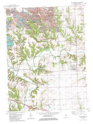
Williamsfield Topo Map Illinois
To zoom in, hover over the map of Williamsfield
USGS Topo Quad 40090h1 - 1:24,000 scale
| Topo Map Name: | Williamsfield |
| USGS Topo Quad ID: | 40090h1 |
| Print Size: | ca. 21 1/4" wide x 27" high |
| Southeast Coordinates: | 40.875° N latitude / 90° W longitude |
| Map Center Coordinates: | 40.9375° N latitude / 90.0625° W longitude |
| U.S. State: | IL |
| Filename: | o40090h1.jpg |
| Download Map JPG Image: | Williamsfield topo map 1:24,000 scale |
| Map Type: | Topographic |
| Topo Series: | 7.5´ |
| Map Scale: | 1:24,000 |
| Source of Map Images: | United States Geological Survey (USGS) |
| Alternate Map Versions: |
Williamsfield IL 1982, updated 1983 Download PDF Buy paper map Williamsfield IL 2012 Download PDF Buy paper map Williamsfield IL 2015 Download PDF Buy paper map |
1:24,000 Topo Quads surrounding Williamsfield
> Back to 40090e1 at 1:100,000 scale
> Back to 40090a1 at 1:250,000 scale
> Back to U.S. Topo Maps home
Williamsfield topo map: Gazetteer
Williamsfield: Bridges
Lapham Bridge elevation 174m 570′Trenton Bridge (historical) elevation 174m 570′
Williamsfield: Dams
Daum Lake Dam elevation 207m 679′Happy Hollow Lake Dam elevation 188m 616′
Happy Hollow Lake Number 2 Dam elevation 198m 649′
Spoon Lake Dam elevation 199m 652′
Williamsfield: Populated Places
Dahinda elevation 178m 583′Eugene elevation 214m 702′
Trenton Corners elevation 218m 715′
Truro elevation 208m 682′
Williamsfield elevation 215m 705′
Williamsfield: Post Offices
Dahinda Post Office elevation 178m 583′Williamsfield: Reservoirs
Chain of Lakes elevation 228m 748′Corn Crib Lake elevation 239m 784′
Crawdad Lake elevation 231m 757′
Daum Lake elevation 207m 679′
Green Oaks Lake elevation 228m 748′
Happy Hollow Lake elevation 188m 616′
Happy Hollow Lake Number 2 elevation 198m 649′
Little John Club Lake elevation 227m 744′
Lone Rock Lake elevation 226m 741′
Long Lake elevation 232m 761′
Lost Lake elevation 223m 731′
North Lake elevation 228m 748′
South Lake elevation 233m 764′
Spoon Lake elevation 199m 652′
Trailer Lake elevation 223m 731′
U Lake elevation 224m 734′
Williamsfield: Streams
Brandywine Creek elevation 180m 590′Cadwell Creek elevation 180m 590′
Court Creek elevation 176m 577′
Sugar Creek elevation 174m 570′
Williamsfield: Valleys
Snakeden Hollow elevation 186m 610′Tucker Hollow elevation 181m 593′
Williamsfield digital topo map on disk
Buy this Williamsfield topo map showing relief, roads, GPS coordinates and other geographical features, as a high-resolution digital map file on DVD:


