Lucerne Topo Map Missouri
To zoom in, hover over the map of Lucerne
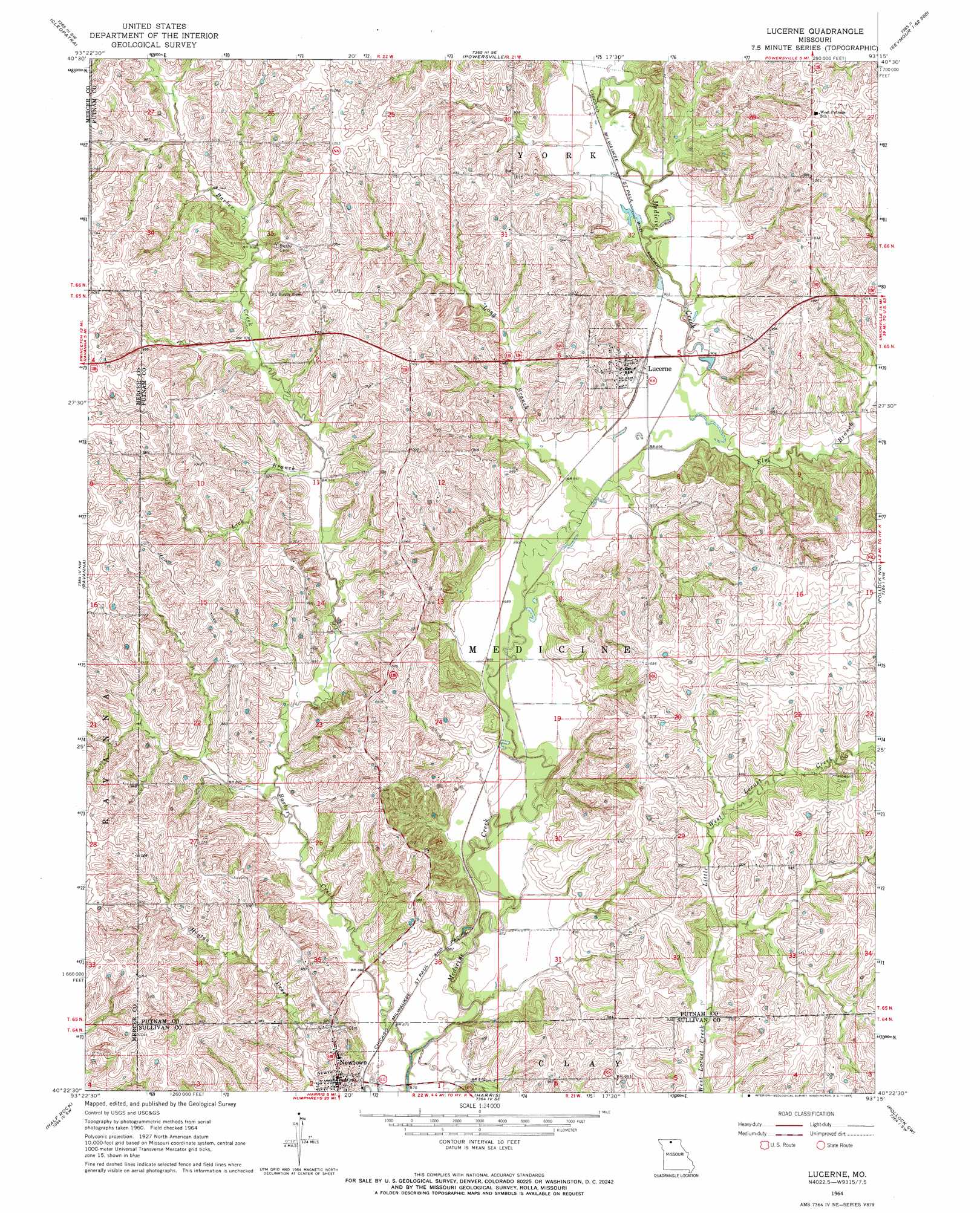
USGS Topo Quad 40093d3 - 1:24,000 scale
| Topo Map Name: | Lucerne |
| USGS Topo Quad ID: | 40093d3 |
| Print Size: | ca. 21 1/4" wide x 27" high |
| Southeast Coordinates: | 40.375° N latitude / 93.25° W longitude |
| Map Center Coordinates: | 40.4375° N latitude / 93.3125° W longitude |
| U.S. State: | MO |
| Filename: | o40093d3.jpg |
| Download Map JPG Image: | Lucerne topo map 1:24,000 scale |
| Map Type: | Topographic |
| Topo Series: | 7.5´ |
| Map Scale: | 1:24,000 |
| Source of Map Images: | United States Geological Survey (USGS) |
| Alternate Map Versions: |
Lucerne MO 1964, updated 1965 Download PDF Buy paper map Lucerne MO 2012 Download PDF Buy paper map Lucerne MO 2014 Download PDF Buy paper map |
1:24,000 Topo Quads surrounding Lucerne
Woodland |
Clio |
Allerton |
Seymour West |
Seymour East |
Lineville |
Cleopatra |
Powersville |
Saint John |
Lake Thunderhead |
Princeton |
Ravanna |
Lucerne |
Pollock Nw |
Unionville West |
Mill Grove |
Half Rock |
Harris |
Pollock Sw |
Pollock |
Spickard |
Galt |
Osgood |
Milan West |
Milan East |
> Back to 40093a1 at 1:100,000 scale
> Back to 40092a1 at 1:250,000 scale
> Back to U.S. Topo Maps home
Lucerne topo map: Gazetteer
Lucerne: Populated Places
Lucerne elevation 296m 971′Newtown elevation 290m 951′
Lucerne: Streams
Barber Creek elevation 258m 846′Elm Branch elevation 271m 889′
Lick Branch elevation 278m 912′
Little West Locust Creek elevation 280m 918′
Long Branch elevation 271m 889′
Lucerne digital topo map on disk
Buy this Lucerne topo map showing relief, roads, GPS coordinates and other geographical features, as a high-resolution digital map file on DVD: