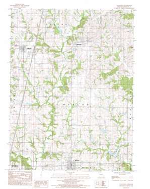
Eagleville Topo Map Missouri
To zoom in, hover over the map of Eagleville
USGS Topo Quad 40093d8 - 1:24,000 scale
| Topo Map Name: | Eagleville |
| USGS Topo Quad ID: | 40093d8 |
| Print Size: | ca. 21 1/4" wide x 27" high |
| Southeast Coordinates: | 40.375° N latitude / 93.875° W longitude |
| Map Center Coordinates: | 40.4375° N latitude / 93.9375° W longitude |
| U.S. State: | MO |
| Filename: | o40093d8.jpg |
| Download Map JPG Image: | Eagleville topo map 1:24,000 scale |
| Map Type: | Topographic |
| Topo Series: | 7.5´ |
| Map Scale: | 1:24,000 |
| Source of Map Images: | United States Geological Survey (USGS) |
| Alternate Map Versions: |
Eagleville MO 1984, updated 1985 Download PDF Buy paper map Eagleville MO 2012 Download PDF Buy paper map Eagleville MO 2015 Download PDF Buy paper map |
1:24,000 Topo Quads surrounding Eagleville
> Back to 40093a1 at 1:100,000 scale
> Back to 40092a1 at 1:250,000 scale
> Back to U.S. Topo Maps home
Eagleville topo map: Gazetteer
Eagleville: Dams
Baxter Lake Dam North elevation 316m 1036′Baxter Lake Dam South elevation 316m 1036′
Craig/Allen Dam Lt-90 elevation 317m 1040′
D Buis B-11 Dam elevation 308m 1010′
East Fork Big Creek Dam A-30 elevation 302m 990′
East Fork Big Creek Dam A-34 elevation 305m 1000′
East Fork Big Creek Watershed A-4 Dam elevation 301m 987′
East Fork Big Creek Watershed Dam A-31 elevation 306m 1003′
East Fork Big Creek Watershed Dam A-33 elevation 312m 1023′
East Fork Big Creek Watershed Dam A-40 elevation 309m 1013′
Fitz Farms Lake Dam elevation 308m 1010′
H Taylor E-12 Dam elevation 298m 977′
Harcomo/Johnson Dam Lt-80 elevation 310m 1017′
Marion Lake Dam elevation 297m 974′
Meeks Dam elevation 296m 971′
Panther Creek Watershed Dam A-1 elevation 283m 928′
Panther Creek Watershed Dam B-10 elevation 296m 971′
Panther Creek Watershed Dam B-13 elevation 295m 967′
Panther Creek Watershed Dam C-2 elevation 277m 908′
Tuggle Lake Dam elevation 303m 994′
Tuggles Dam elevation 304m 997′
Eagleville: Populated Places
Blythedale elevation 328m 1076′Eagleville elevation 333m 1092′
Ridgeway elevation 322m 1056′
Eagleville: Reservoirs
Ally Lake elevation 312m 1023′D Buis Lake elevation 308m 1010′
D Butin Lake elevation 295m 967′
East Fork Big Creek Watershed Lake A-4 elevation 301m 987′
Fitz Farms Lake elevation 308m 1010′
Gibson Lake elevation 309m 1013′
H Taylor Lake elevation 298m 977′
Harrison County Lake C-2 elevation 277m 908′
Hendren Lake elevation 305m 1000′
Jesse Hale Lake elevation 283m 928′
Marion Lake elevation 297m 974′
Meek Lake elevation 296m 971′
Meinecke Lake elevation 302m 990′
Rock House Lake elevation 281m 921′
Tripp Lake elevation 304m 997′
Tripp Lake elevation 296m 971′
Eagleville: Streams
Barber Branch elevation 297m 974′Bracken Branch elevation 296m 971′
Pointer Branch elevation 297m 974′
Eagleville digital topo map on disk
Buy this Eagleville topo map showing relief, roads, GPS coordinates and other geographical features, as a high-resolution digital map file on DVD:


