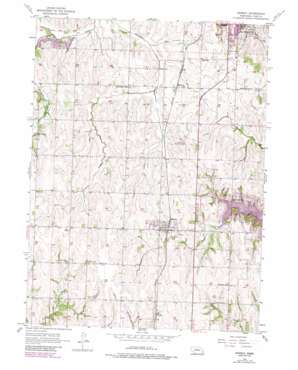
Murray Topo Map Nebraska
To zoom in, hover over the map of Murray
USGS Topo Quad 40095h8 - 1:24,000 scale
| Topo Map Name: | Murray |
| USGS Topo Quad ID: | 40095h8 |
| Print Size: | ca. 21 1/4" wide x 27" high |
| Southeast Coordinates: | 40.875° N latitude / 95.875° W longitude |
| Map Center Coordinates: | 40.9375° N latitude / 95.9375° W longitude |
| U.S. State: | NE |
| Filename: | O40095H8.jpg |
| Download Map JPG Image: | Murray topo map 1:24,000 scale |
| Map Type: | Topographic |
| Topo Series: | 7.5´ |
| Map Scale: | 1:24,000 |
| Source of Map Images: | United States Geological Survey (USGS) |
| Alternate Map Versions: |
Murray NE 1956, updated 1957 Download PDF Buy paper map Murray NE 1956, updated 1974 Download PDF Buy paper map Murray NE 1956, updated 1984 Download PDF Buy paper map Murray NE 2011 Download PDF Buy paper map Murray NE 2014 Download PDF Buy paper map |
1:24,000 Topo Quads surrounding Murray
> Back to 40095e1 at 1:100,000 scale
> Back to 40094a1 at 1:250,000 scale
> Back to U.S. Topo Maps home
Murray topo map: Gazetteer
Murray: Airports
Cole Airport elevation 342m 1122′Nolte Farms Airport elevation 380m 1246′
Plattsmouth Municipal Airport elevation 361m 1184′
Murray: Dams
Copper Penny Lake Dam elevation 318m 1043′Detention Dam 12-A elevation 327m 1072′
Detention Dam 18-A elevation 336m 1102′
Schlichtemeier Dam Number 1 elevation 364m 1194′
Topliff Dam elevation 358m 1174′
W-M Dam elevation 318m 1043′
Murray: Lakes
Lake Wahaboncey (historical) elevation 371m 1217′Murray: Populated Places
Murray elevation 363m 1190′Mynard elevation 332m 1089′
Roberts Mobile Home Court elevation 346m 1135′
South Side Mobile Home Park elevation 343m 1125′
Todd elevation 356m 1167′
Murray: Post Offices
Murray Post Office elevation 363m 1190′Mynard Post Office (historical) elevation 332m 1089′
Three Grove Post Office (historical) elevation 350m 1148′
Murray: Reservoirs
Copper Penny Lake elevation 318m 1043′Plattsmouth Reservoir 12-A elevation 327m 1072′
Plattsmouth Reservoir 18-A elevation 336m 1102′
Schlichtemeier Reservoir Number 1 elevation 364m 1194′
Topliff Reservoir elevation 358m 1174′
W-M Lake elevation 318m 1043′
Murray: Streams
Coral Creek elevation 350m 1148′Murray digital topo map on disk
Buy this Murray topo map showing relief, roads, GPS coordinates and other geographical features, as a high-resolution digital map file on DVD:


