Tobias Sw Topo Map Nebraska
To zoom in, hover over the map of Tobias Sw
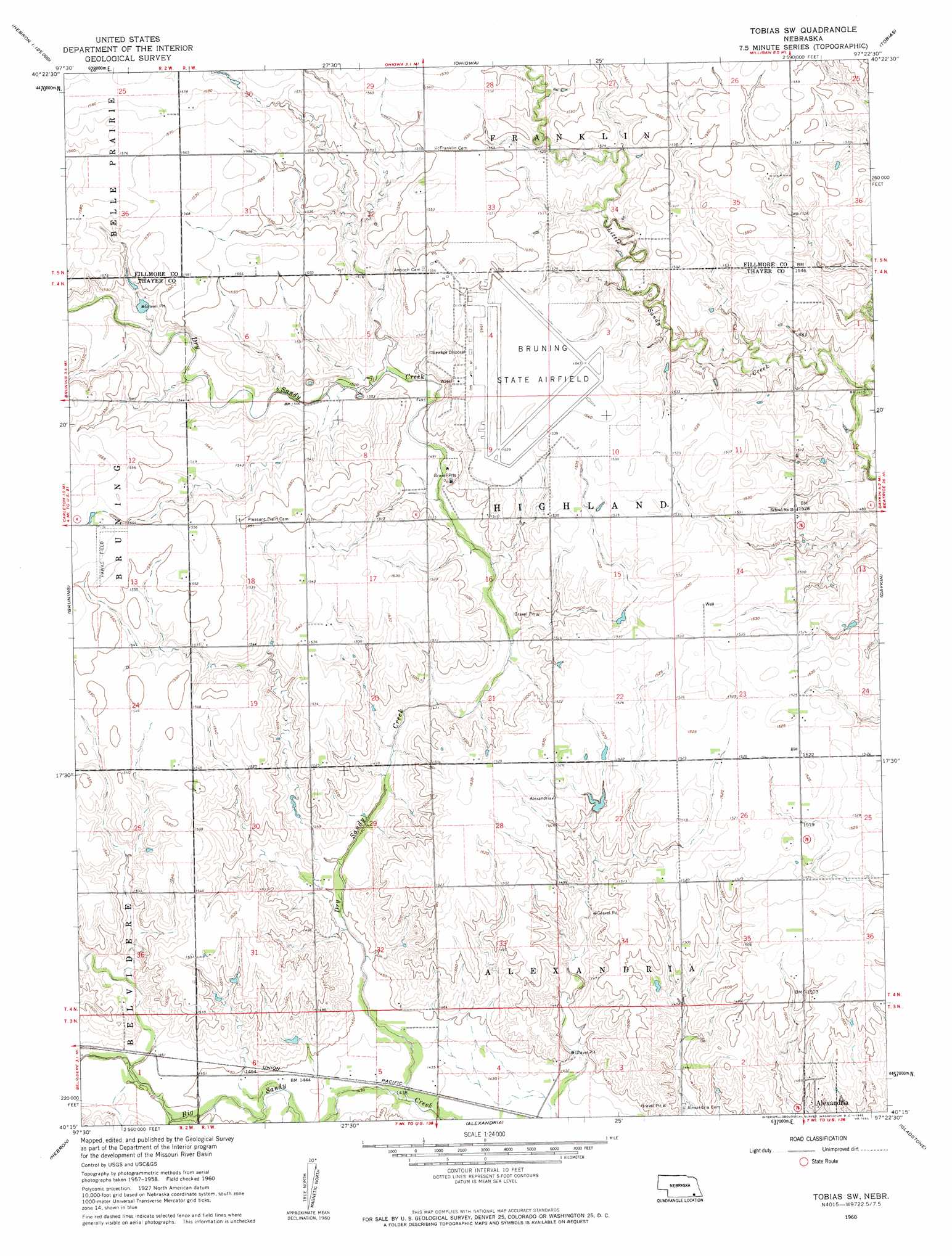
USGS Topo Quad 40097c4 - 1:24,000 scale
| Topo Map Name: | Tobias Sw |
| USGS Topo Quad ID: | 40097c4 |
| Print Size: | ca. 21 1/4" wide x 27" high |
| Southeast Coordinates: | 40.25° N latitude / 97.375° W longitude |
| Map Center Coordinates: | 40.3125° N latitude / 97.4375° W longitude |
| U.S. State: | NE |
| Filename: | O40097c4.jpg |
| Download Map JPG Image: | Tobias Sw topo map 1:24,000 scale |
| Map Type: | Topographic |
| Topo Series: | 7.5´ |
| Map Scale: | 1:24,000 |
| Source of Map Images: | United States Geological Survey (USGS) |
| Alternate Map Versions: |
Tobias SW NE 1960, updated 1962 Download PDF Buy paper map Tobias SW NE 2011 Download PDF Buy paper map Tobias SW NE 2014 Download PDF Buy paper map |
1:24,000 Topo Quads surrounding Tobias Sw
Geneva Sw |
Geneva |
Friend Sw |
Friend Se |
Dorchester Sw |
Shickley |
Strang |
Ohiowa |
Tobias |
Western |
Carleton |
Bruning |
Tobias Sw |
Daykin |
Western Sw |
Deshler |
Hebron |
Alexandria |
Gladstone |
Fairbury |
Hebron Sw |
Chester |
Hubbell |
Reynolds |
Fairbury Sw |
> Back to 40097a1 at 1:100,000 scale
> Back to 40096a1 at 1:250,000 scale
> Back to U.S. Topo Maps home
Tobias Sw topo map: Gazetteer
Tobias Sw: Airports
Hawks Field elevation 474m 1555′Tobias Sw: Dams
Kerwood Dam elevation 455m 1492′Sieber Dam elevation 475m 1558′
Tobias Sw: Parks
Bruning Army Air Field Historical Marker elevation 461m 1512′Tobias Sw: Reservoirs
Kerwood Reservoir elevation 455m 1492′Sieber Reservoir elevation 475m 1558′
Tobias Sw: Streams
Dry Sandy Creek elevation 436m 1430′Walnut Creek elevation 445m 1459′
Tobias Sw digital topo map on disk
Buy this Tobias Sw topo map showing relief, roads, GPS coordinates and other geographical features, as a high-resolution digital map file on DVD: