Sutton Topo Map Nebraska
To zoom in, hover over the map of Sutton
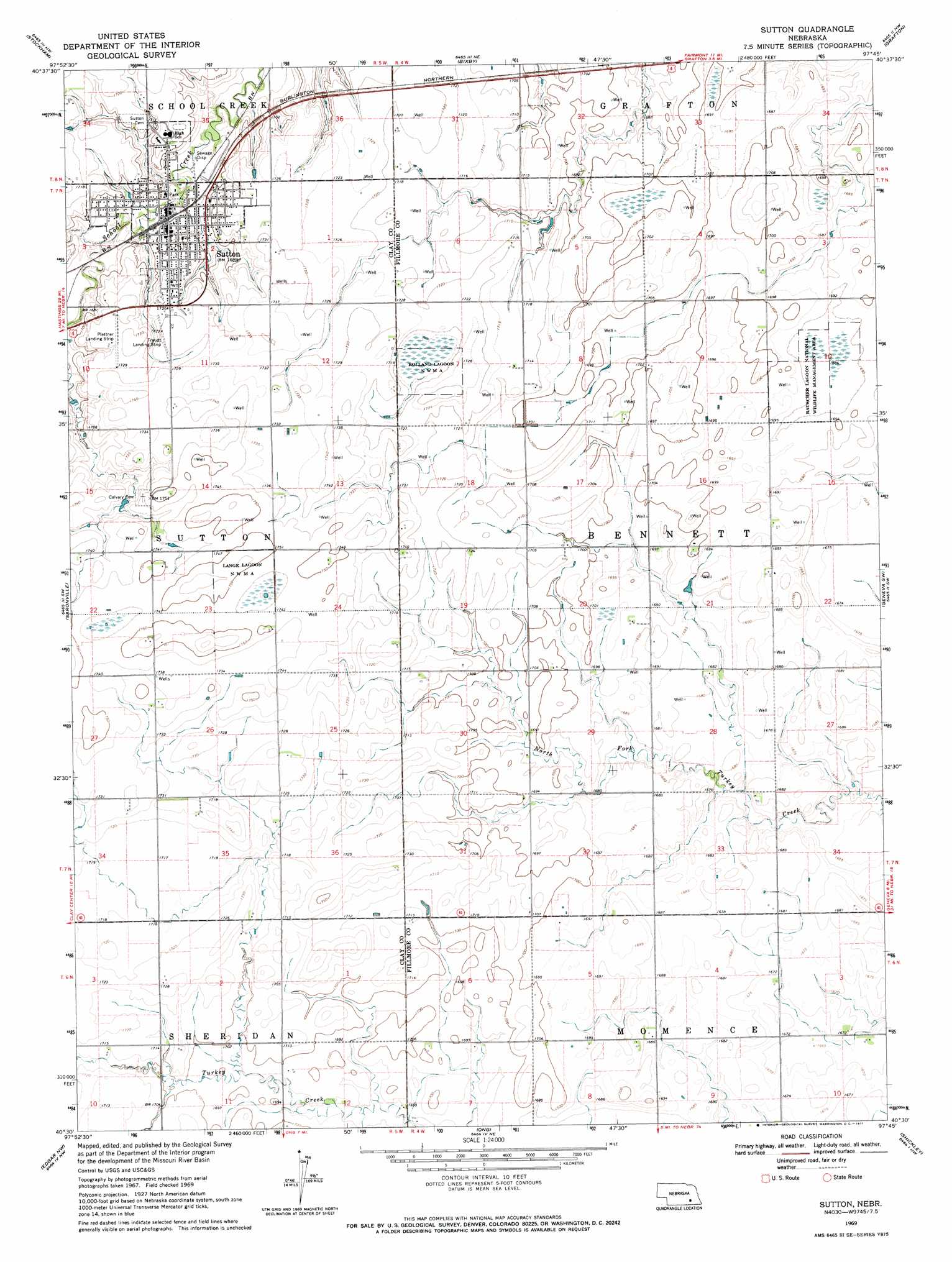
USGS Topo Quad 40097e7 - 1:24,000 scale
| Topo Map Name: | Sutton |
| USGS Topo Quad ID: | 40097e7 |
| Print Size: | ca. 21 1/4" wide x 27" high |
| Southeast Coordinates: | 40.5° N latitude / 97.75° W longitude |
| Map Center Coordinates: | 40.5625° N latitude / 97.8125° W longitude |
| U.S. State: | NE |
| Filename: | O40097e7.jpg |
| Download Map JPG Image: | Sutton topo map 1:24,000 scale |
| Map Type: | Topographic |
| Topo Series: | 7.5´ |
| Map Scale: | 1:24,000 |
| Source of Map Images: | United States Geological Survey (USGS) |
| Alternate Map Versions: |
Sutton NE 1969, updated 1971 Download PDF Buy paper map Sutton NE 2011 Download PDF Buy paper map Sutton NE 2014 Download PDF Buy paper map |
1:24,000 Topo Quads surrounding Sutton
Aurora West |
Aurora East |
Henderson |
York Sw |
York South |
Harvard Ne |
Stockham |
Bixby |
Grafton |
Fairmont |
Harvard |
Saronville |
Sutton |
Geneva Sw |
Geneva |
Fairfield |
Edgar Nw |
Ong |
Shickley |
Strang |
Fairfield Se |
Edgar |
Davenport |
Carleton |
Bruning |
> Back to 40097e1 at 1:100,000 scale
> Back to 40096a1 at 1:250,000 scale
> Back to U.S. Topo Maps home
Sutton topo map: Gazetteer
Sutton: Parks
Lange Lagoon National Wildlife Management Area elevation 530m 1738′Rauscher Lagoon Natl Wildlife Mgt Area elevation 515m 1689′
Rolland Lagoon N W M A elevation 523m 1715′
Sutton City Park elevation 509m 1669′
Sutton Historical Marker elevation 509m 1669′
Sutton: Populated Places
Sutton elevation 512m 1679′Sutton: Post Offices
Sutton Post Office elevation 511m 1676′Sutton: Trails
Sutton Recreational Trail elevation 512m 1679′Sutton digital topo map on disk
Buy this Sutton topo map showing relief, roads, GPS coordinates and other geographical features, as a high-resolution digital map file on DVD: