Venango Nw Topo Map Colorado
To zoom in, hover over the map of Venango Nw
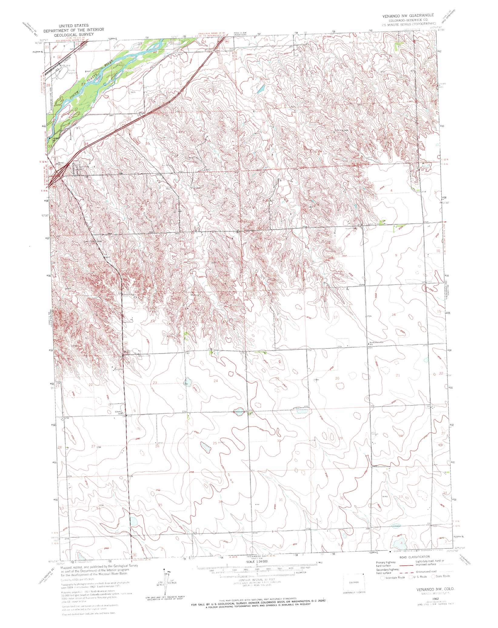
USGS Topo Quad 40102h2 - 1:24,000 scale
| Topo Map Name: | Venango Nw |
| USGS Topo Quad ID: | 40102h2 |
| Print Size: | ca. 21 1/4" wide x 27" high |
| Southeast Coordinates: | 40.875° N latitude / 102.125° W longitude |
| Map Center Coordinates: | 40.9375° N latitude / 102.1875° W longitude |
| U.S. State: | CO |
| Filename: | o40102h2.jpg |
| Download Map JPG Image: | Venango Nw topo map 1:24,000 scale |
| Map Type: | Topographic |
| Topo Series: | 7.5´ |
| Map Scale: | 1:24,000 |
| Source of Map Images: | United States Geological Survey (USGS) |
| Alternate Map Versions: |
Venango NW CO 1962, updated 1964 Download PDF Buy paper map Venango NW CO 1962, updated 1964 Download PDF Buy paper map Venango NW CO 1962, updated 1972 Download PDF Buy paper map Venango NW CO 2010 Download PDF Buy paper map Venango NW CO 2013 Download PDF Buy paper map Venango NW CO 2016 Download PDF Buy paper map |
1:24,000 Topo Quads surrounding Venango Nw
Chappell Nw |
Chappell Ne |
Big Springs Nw |
Big Springs Ne |
Brule Nw |
Chappell |
Chappell Se |
Barton |
Big Springs |
Brule |
Ovid |
Julesburg |
Venango Nw |
Venango Ne |
Brandon Nw |
Julesburg Sw |
Julesburg Se |
Venango Sw |
Venango |
Brandon |
Holyoke Nw |
Holyoke Ne |
Amherst |
Amherst Ne |
Lamar Nw |
> Back to 40102e1 at 1:100,000 scale
> Back to 40102a1 at 1:250,000 scale
> Back to U.S. Topo Maps home
No gazetteer data is available for the Venango Nw topo map sheet.
Venango Nw digital topo map on disk
Buy this Venango Nw topo map showing relief, roads, GPS coordinates and other geographical features, as a high-resolution digital map file on DVD: