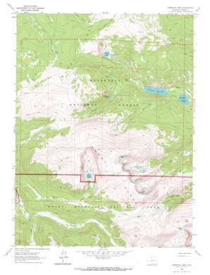
Comanche Peak Topo Map Colorado
To zoom in, hover over the map of Comanche Peak
USGS Topo Quad 40105e6 - 1:24,000 scale
| Topo Map Name: | Comanche Peak |
| USGS Topo Quad ID: | 40105e6 |
| Print Size: | ca. 21 1/4" wide x 27" high |
| Southeast Coordinates: | 40.5° N latitude / 105.625° W longitude |
| Map Center Coordinates: | 40.5625° N latitude / 105.6875° W longitude |
| U.S. State: | CO |
| Filename: | o40105e6.jpg |
| Download Map JPG Image: | Comanche Peak topo map 1:24,000 scale |
| Map Type: | Topographic |
| Topo Series: | 7.5´ |
| Map Scale: | 1:24,000 |
| Source of Map Images: | United States Geological Survey (USGS) |
| Alternate Map Versions: |
Comanche Peak CO 1962, updated 1964 Download PDF Buy paper map Comanche Peak CO 1962, updated 1969 Download PDF Buy paper map Comanche Peak CO 2011 Download PDF Buy paper map Comanche Peak CO 2013 Download PDF Buy paper map Comanche Peak CO 2016 Download PDF Buy paper map |
| FStopo: | US Forest Service topo Comanche Peak is available: Download FStopo PDF Download FStopo TIF |
1:24,000 Topo Quads surrounding Comanche Peak
> Back to 40105e1 at 1:100,000 scale
> Back to 40104a1 at 1:250,000 scale
> Back to U.S. Topo Maps home
Comanche Peak topo map: Gazetteer
Comanche Peak: Dams
Comanche Dam elevation 2865m 9399′Hourglass Dam elevation 2863m 9393′
Comanche Peak: Gaps
Flint Pass elevation 3540m 11614′Icefield Pass elevation 3616m 11863′
Mummy Pass elevation 3429m 11250′
Comanche Peak: Lakes
Browns Lake elevation 3207m 10521′Cirque Lake elevation 3335m 10941′
Comanche Lake elevation 3064m 10052′
Emmaline Lake elevation 3361m 11026′
Mirror Lake elevation 3361m 11026′
Timberline Lake elevation 3205m 10515′
Comanche Peak: Populated Places
Rustic elevation 3437m 11276′Comanche Peak: Ranges
Mummy Range elevation 3614m 11856′Comanche Peak: Reservoirs
Comanche Reservoir elevation 2865m 9399′Hourglass Reservoir elevation 2863m 9393′
Comanche Peak: Streams
Hague Creek elevation 3074m 10085′La Poudre Pass Creek elevation 2949m 9675′
Mummy Pass Creek elevation 3095m 10154′
Paradise Creek elevation 3196m 10485′
Comanche Peak: Summits
Comanche Peak elevation 3868m 12690′Fall Mountain elevation 3736m 12257′
Skull Point elevation 3675m 12057′
Comanche Peak: Trails
Brackenbury Cabin Trail elevation 3422m 11227′Emmaline Lake Trail elevation 3170m 10400′
Flowers Trail elevation 3335m 10941′
Hourglass Trail elevation 2882m 9455′
Mirror Lake Trail elevation 3659m 12004′
Mummy Pass Trail elevation 3447m 11309′
Comanche Peak: Valleys
Long Draw elevation 2951m 9681′Comanche Peak digital topo map on disk
Buy this Comanche Peak topo map showing relief, roads, GPS coordinates and other geographical features, as a high-resolution digital map file on DVD:


