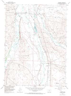
Cowdrey Topo Map Colorado
To zoom in, hover over the map of Cowdrey
USGS Topo Quad 40106g3 - 1:24,000 scale
| Topo Map Name: | Cowdrey |
| USGS Topo Quad ID: | 40106g3 |
| Print Size: | ca. 21 1/4" wide x 27" high |
| Southeast Coordinates: | 40.75° N latitude / 106.25° W longitude |
| Map Center Coordinates: | 40.8125° N latitude / 106.3125° W longitude |
| U.S. State: | CO |
| Filename: | o40106g3.jpg |
| Download Map JPG Image: | Cowdrey topo map 1:24,000 scale |
| Map Type: | Topographic |
| Topo Series: | 7.5´ |
| Map Scale: | 1:24,000 |
| Source of Map Images: | United States Geological Survey (USGS) |
| Alternate Map Versions: |
Cowdrey CO 1956, updated 1957 Download PDF Buy paper map Cowdrey CO 1956, updated 1957 Download PDF Buy paper map Cowdrey CO 1956, updated 1965 Download PDF Buy paper map Cowdrey CO 1956, updated 1965 Download PDF Buy paper map Cowdrey CO 1956, updated 1973 Download PDF Buy paper map Cowdrey CO 2010 Download PDF Buy paper map Cowdrey CO 2013 Download PDF Buy paper map Cowdrey CO 2016 Download PDF Buy paper map |
1:24,000 Topo Quads surrounding Cowdrey
> Back to 40106e1 at 1:100,000 scale
> Back to 40106a1 at 1:250,000 scale
> Back to U.S. Topo Maps home
Cowdrey topo map: Gazetteer
Cowdrey: Canals
Boone Ditch elevation 2420m 7939′Coe Ditch Number 1 elevation 2420m 7939′
Coe Ditch Number 2 elevation 2416m 7926′
Cowdrey Enlargement elevation 2419m 7936′
Cumberland Ditch elevation 2424m 7952′
Dalom Ditch elevation 2427m 7962′
Davis Ditch elevation 2435m 7988′
Give A Dam Jones Ditch elevation 2414m 7919′
Government Ditch Number 1 elevation 2438m 7998′
Hi - Ho Ditch elevation 2408m 7900′
Hunter Ditch elevation 2402m 7880′
Kiwa Ditch elevation 2409m 7903′
Mammouth Ditch elevation 2410m 7906′
Moore Ditch Number 1 elevation 2409m 7903′
North Park Ditch Number 5 elevation 2448m 8031′
North Park Ditch Number 7 elevation 2439m 8001′
Pioneer Ditch elevation 2409m 7903′
Queen Ditch elevation 2451m 8041′
Sand Creek Ditch elevation 2440m 8005′
Seneca Ditch elevation 2421m 7942′
Cowdrey: Dams
Cowdrey Dam elevation 2421m 7942′Cowdrey: Populated Places
Brownlee elevation 2440m 8005′Cowdrey elevation 2413m 7916′
Cowdrey: Reservoirs
Carlstrom Reservoir elevation 2419m 7936′Cowdrey Reservoir elevation 2421m 7942′
Cowdrey: Streams
Crystal Spring Creek elevation 2403m 7883′Government Creek elevation 2403m 7883′
Illinois River elevation 2445m 8021′
North Sand Creek elevation 2409m 7903′
Cowdrey: Valleys
California Gulch elevation 2414m 7919′Lee Draw elevation 2440m 8005′
Mansfield Draw elevation 2402m 7880′
Cowdrey digital topo map on disk
Buy this Cowdrey topo map showing relief, roads, GPS coordinates and other geographical features, as a high-resolution digital map file on DVD:


