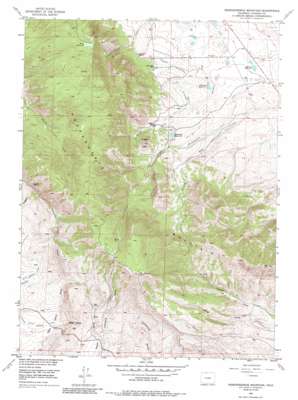
Independence Mountain Topo Map Colorado
To zoom in, hover over the map of Independence Mountain
USGS Topo Quad 40106h4 - 1:24,000 scale
| Topo Map Name: | Independence Mountain |
| USGS Topo Quad ID: | 40106h4 |
| Print Size: | ca. 21 1/4" wide x 27" high |
| Southeast Coordinates: | 40.875° N latitude / 106.375° W longitude |
| Map Center Coordinates: | 40.9375° N latitude / 106.4375° W longitude |
| U.S. State: | CO |
| Filename: | o40106h4.jpg |
| Download Map JPG Image: | Independence Mountain topo map 1:24,000 scale |
| Map Type: | Topographic |
| Topo Series: | 7.5´ |
| Map Scale: | 1:24,000 |
| Source of Map Images: | United States Geological Survey (USGS) |
| Alternate Map Versions: |
Independence Mountain CO 1955, updated 1956 Download PDF Buy paper map Independence Mountain CO 1955, updated 1956 Download PDF Buy paper map Independence Mountain CO 1955, updated 1965 Download PDF Buy paper map Independence Mountain CO 1955, updated 1973 Download PDF Buy paper map Independence Mountain CO 1955, updated 1985 Download PDF Buy paper map Independence Mountain CO 2010 Download PDF Buy paper map Independence Mountain CO 2013 Download PDF Buy paper map Independence Mountain CO 2016 Download PDF Buy paper map |
1:24,000 Topo Quads surrounding Independence Mountain
> Back to 40106e1 at 1:100,000 scale
> Back to 40106a1 at 1:250,000 scale
> Back to U.S. Topo Maps home
Independence Mountain topo map: Gazetteer
Independence Mountain: Canals
Huntington Ditch elevation 2475m 8120′Independence Ditch elevation 2715m 8907′
Threemile Ditch elevation 2495m 8185′
Threemile Enlargement and Extension elevation 2462m 8077′
Valley Ditch elevation 2441m 8008′
Independence Mountain: Dams
Hunter Dam elevation 2437m 7995′Three Mile Dam elevation 2491m 8172′
Wills Dam elevation 2727m 8946′
Independence Mountain: Mines
Caprock Mine elevation 2634m 8641′Mitchell Placer elevation 2852m 9356′
Placer Draw Placers elevation 2661m 8730′
Simmons Mine elevation 2472m 8110′
Independence Mountain: Reservoirs
Campbell Reservoir elevation 2442m 8011′Hunter Reservoir elevation 2437m 7995′
Threemile Reservoir elevation 2491m 8172′
Wills Reservoir elevation 2727m 8946′
Independence Mountain: Streams
Spring Creek elevation 2427m 7962′Independence Mountain: Summits
Dead Horse Hill elevation 2632m 8635′Independence Mountain elevation 2987m 9799′
Sugar Loaf elevation 2650m 8694′
Independence Mountain: Valleys
Parsons Draw elevation 2429m 7969′Independence Mountain digital topo map on disk
Buy this Independence Mountain topo map showing relief, roads, GPS coordinates and other geographical features, as a high-resolution digital map file on DVD:


