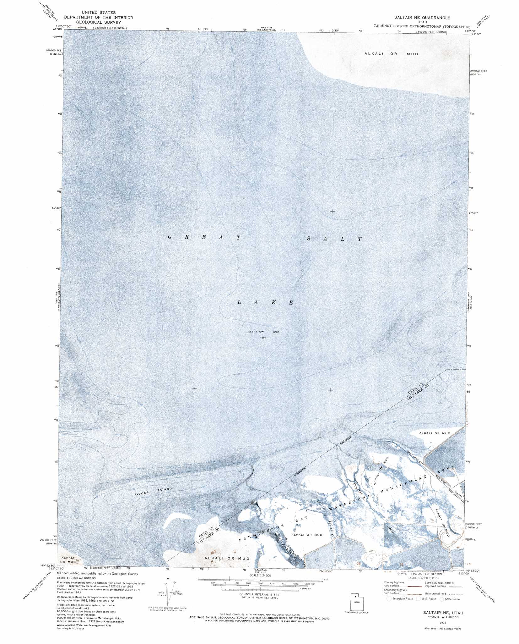
Saltair Ne Topo Map Utah
To zoom in, hover over the map of Saltair Ne
USGS Topo Quad 40112h1 - 1:24,000 scale
| Topo Map Name: | Saltair Ne |
| USGS Topo Quad ID: | 40112h1 |
| Print Size: | ca. 21 1/4" wide x 27" high |
| Southeast Coordinates: | 40.875° N latitude / 112° W longitude |
| Map Center Coordinates: | 40.9375° N latitude / 112.0625° W longitude |
| U.S. State: | UT |
| Filename: | p40112h1.jpg |
| Download Map JPG Image: | Saltair Ne topo map 1:24,000 scale |
| Map Type: | Orthophoto |
| Topo Series: | 7.5´ |
| Map Scale: | 1:24,000 |
| Source of Map Images: | United States Geological Survey (USGS) |
| Alternate Map Versions: |
Saltair NE UT 1952, updated 1953 Download PDF Buy paper map Saltair NE UT 1952, updated 1957 Download PDF Buy paper map Saltair NE UT 1972, updated 1974 Download PDF Buy paper map Saltair NE UT 1997, updated 2001 Download PDF Buy paper map Saltair NE UT 2011 Download PDF Buy paper map Saltair NE UT 2014 Download PDF Buy paper map |
1:24,000 Topo Quads surrounding Saltair Ne
Fremont Island |
Ogden Bay |
Roy |
Ogden |
Snow Basin |
Buffalo Point |
Antelope Island North |
Clearfield |
Kaysville |
Peterson |
Plug Peak Ne |
Antelope Island |
Saltair Ne |
Farmington |
Bountiful Peak |
Plug Peak Se |
Antelope Island South |
Saltair |
Salt Lake City North |
Fort Douglas |
Mills Junction |
Farnsworth Peak |
Magna |
Salt Lake City South |
Sugar House |
> Back to 40112e1 at 1:100,000 scale
> Back to 40112a1 at 1:250,000 scale
> Back to U.S. Topo Maps home
Saltair Ne topo map: Gazetteer
Saltair Ne: Bays
Farmington Bay elevation 1281m 4202′Saltair Ne: Guts
Crystal Creek elevation 1282m 4206′Left Fork Spring Creek elevation 1282m 4206′
Right Fork Spring Creek elevation 1282m 4206′
Saltair Ne: Islands
Goose Island elevation 1281m 4202′Saltair Ne: Parks
Farmington Bay Waterfowl Management Area elevation 1282m 4206′Saltair Ne digital topo map on disk
Buy this Saltair Ne topo map showing relief, roads, GPS coordinates and other geographical features, as a high-resolution digital map file on DVD: