Knolls Se Topo Map Utah
To zoom in, hover over the map of Knolls Se
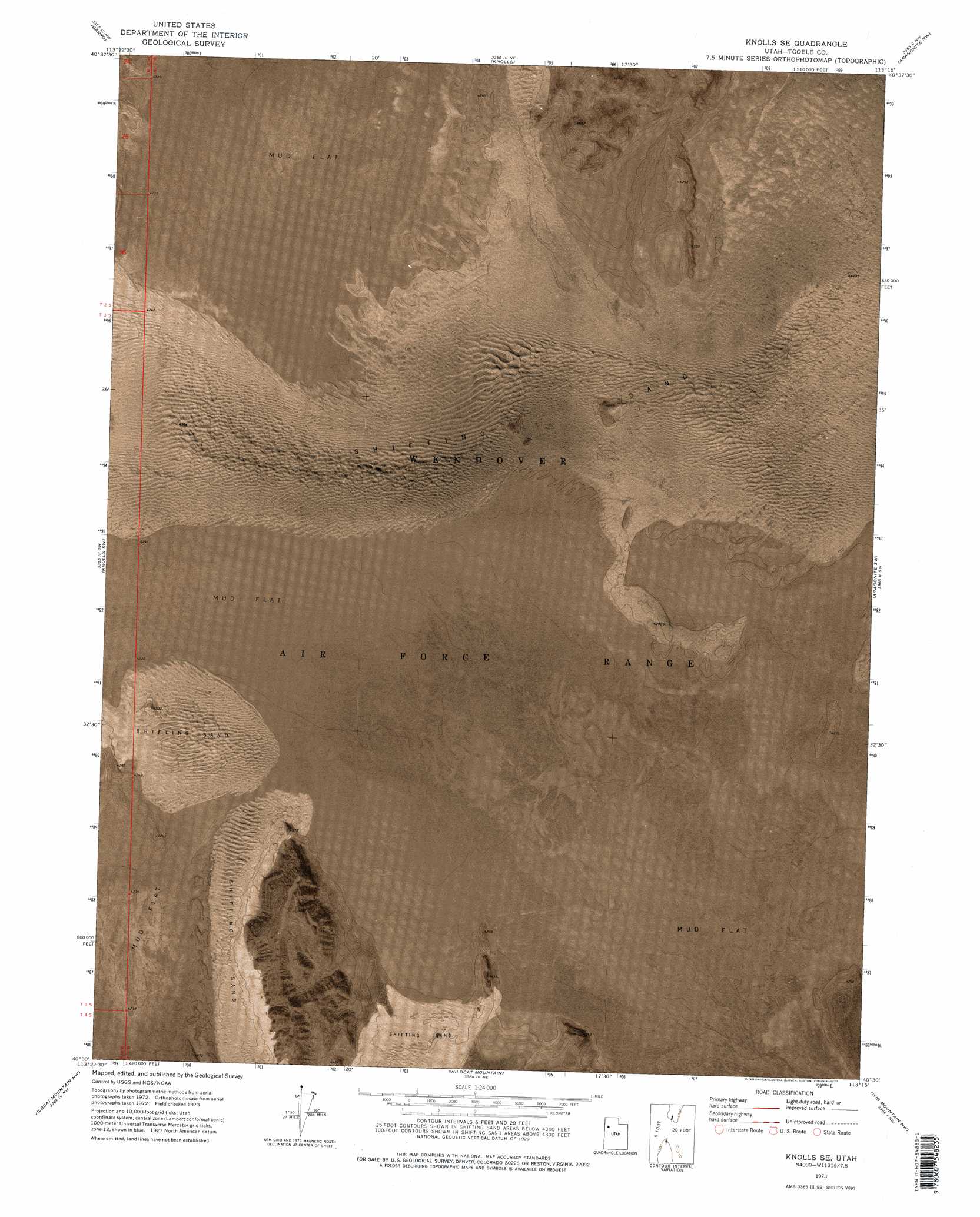
USGS Topo Quad 40113e3 - 1:24,000 scale
| Topo Map Name: | Knolls Se |
| USGS Topo Quad ID: | 40113e3 |
| Print Size: | ca. 21 1/4" wide x 27" high |
| Southeast Coordinates: | 40.5° N latitude / 113.25° W longitude |
| Map Center Coordinates: | 40.5625° N latitude / 113.3125° W longitude |
| U.S. State: | UT |
| Filename: | p40113e3.jpg |
| Download Map JPG Image: | Knolls Se topo map 1:24,000 scale |
| Map Type: | Orthophoto |
| Topo Series: | 7.5´ |
| Map Scale: | 1:24,000 |
| Source of Map Images: | United States Geological Survey (USGS) |
| Alternate Map Versions: |
Knolls SE UT 1973, updated 1977 Download PDF Buy paper map Knolls SE UT 1973, updated 1977 Download PDF Buy paper map Knolls SE UT 2011 Download PDF Buy paper map Knolls SE UT 2014 Download PDF Buy paper map |
1:24,000 Topo Quads surrounding Knolls Se
Floating Island Se |
Knolls 2 Sw |
Knolls 2 Se |
Grayback Hills |
Ripple Valley |
Arinosa Ne |
Barro |
Knolls |
Aragonite Nw |
Aragonite |
Arinosa Se |
Knolls Sw |
Knolls Se |
Aragonite Sw |
Aragonite Se |
Gold Hill 1 Ne |
Wildcat Mountain Nw |
Wildcat Mountain |
Wig Mountain Nw |
Wig Mountain Ne |
Gold Hill 1 Se |
Wildcat Mountain Sw |
Wildcat Mountain Se |
Wig Mountain Sw |
Wig Mountain |
> Back to 40113e1 at 1:100,000 scale
> Back to 40112a1 at 1:250,000 scale
> Back to U.S. Topo Maps home
Knolls Se topo map: Gazetteer
Knolls Se: Areas
Knolls Dunes elevation 1304m 4278′Knolls Se: Summits
Kittycat Mountain elevation 1535m 5036′Knolls Se digital topo map on disk
Buy this Knolls Se topo map showing relief, roads, GPS coordinates and other geographical features, as a high-resolution digital map file on DVD: