Decoy Sw Topo Map Nevada
To zoom in, hover over the map of Decoy Sw
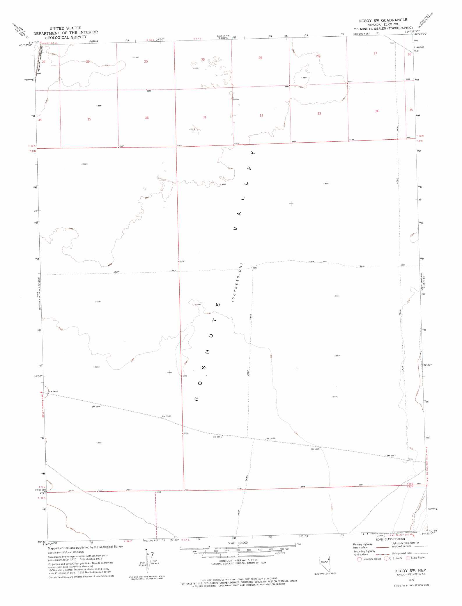
USGS Topo Quad 40114e4 - 1:24,000 scale
| Topo Map Name: | Decoy Sw |
| USGS Topo Quad ID: | 40114e4 |
| Print Size: | ca. 21 1/4" wide x 27" high |
| Southeast Coordinates: | 40.5° N latitude / 114.375° W longitude |
| Map Center Coordinates: | 40.5625° N latitude / 114.4375° W longitude |
| U.S. State: | NV |
| Filename: | o40114e4.jpg |
| Download Map JPG Image: | Decoy Sw topo map 1:24,000 scale |
| Map Type: | Topographic |
| Topo Series: | 7.5´ |
| Map Scale: | 1:24,000 |
| Source of Map Images: | United States Geological Survey (USGS) |
| Alternate Map Versions: |
Decoy SW NV 1972, updated 1975 Download PDF Buy paper map Decoy SW NV 2012 Download PDF Buy paper map Decoy SW NV 2014 Download PDF Buy paper map |
1:24,000 Topo Quads surrounding Decoy Sw
Independence Valley Sw |
Independence Valley Se |
Shafter |
West Morris Basin |
Pilot |
Ninemile Canyon |
Flowery Lake |
Decoy |
Morgan Pass |
Ola |
Boone Spring |
Dolly Varden |
Decoy Sw |
Lion Spring |
Spring Gulch |
Mizpah |
Mizpah Point |
White Horse Mountain Nw |
Goshute Peak |
Ferguson Mountain |
Currie |
Sharp Peak |
Dolly Varden Spring |
White Horse Mountain |
White Horse Pass |
> Back to 40114e1 at 1:100,000 scale
> Back to 40114a1 at 1:250,000 scale
> Back to U.S. Topo Maps home
No gazetteer data is available for the Decoy Sw topo map sheet.
Decoy Sw digital topo map on disk
Buy this Decoy Sw topo map showing relief, roads, GPS coordinates and other geographical features, as a high-resolution digital map file on DVD: