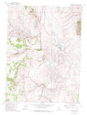
Squaw Valley Topo Map Nevada
To zoom in, hover over the map of Squaw Valley
USGS Topo Quad 40119g5 - 1:24,000 scale
| Topo Map Name: | Squaw Valley |
| USGS Topo Quad ID: | 40119g5 |
| Print Size: | ca. 21 1/4" wide x 27" high |
| Southeast Coordinates: | 40.75° N latitude / 119.5° W longitude |
| Map Center Coordinates: | 40.8125° N latitude / 119.5625° W longitude |
| U.S. State: | NV |
| Filename: | o40119g5.jpg |
| Download Map JPG Image: | Squaw Valley topo map 1:24,000 scale |
| Map Type: | Topographic |
| Topo Series: | 7.5´ |
| Map Scale: | 1:24,000 |
| Source of Map Images: | United States Geological Survey (USGS) |
| Alternate Map Versions: |
Squaw Valley NV 1981, updated 1981 Download PDF Buy paper map Squaw Valley NV 2011 Download PDF Buy paper map Squaw Valley NV 2014 Download PDF Buy paper map |
1:24,000 Topo Quads surrounding Squaw Valley
> Back to 40119e1 at 1:100,000 scale
> Back to 40118a1 at 1:250,000 scale
> Back to U.S. Topo Maps home
Squaw Valley topo map: Gazetteer
Squaw Valley: Basins
Squaw Valley elevation 1426m 4678′Squaw Valley: Dams
Squaw Valley Creek Dam elevation 1373m 4504′Squaw Valley: Mines
Charles Nashs Mine elevation 1725m 5659′Lakeview Mine elevation 1754m 5754′
Mountain View Mine elevation 1666m 5465′
Silver Bell Mine elevation 1698m 5570′
Squaw Valley: Reservoirs
Squaw Valley Reservoir elevation 1373m 4504′Wood Road Reservoirs elevation 1507m 4944′
Squaw Valley: Springs
Antelope Spring elevation 1804m 5918′Big Sawmill Spring elevation 1737m 5698′
New Spring elevation 1404m 4606′
Table Spring elevation 1705m 5593′
Trail Canyon Spring Number One elevation 1569m 5147′
Squaw Valley: Streams
Clear Creek elevation 1250m 4101′Squaw Valley: Summits
Granite Mountain elevation 1951m 6400′Squaw Valley: Valleys
Big Sawmill Canyon elevation 1252m 4107′Crutcher Canyon elevation 1426m 4678′
Currant Canyon elevation 1618m 5308′
Jones Canyon elevation 1371m 4498′
Poodle Mountain Canyon elevation 1332m 4370′
Trail Canyon elevation 1592m 5223′
Squaw Valley digital topo map on disk
Buy this Squaw Valley topo map showing relief, roads, GPS coordinates and other geographical features, as a high-resolution digital map file on DVD:


