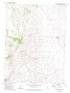
Melody Mountain Topo Map Nevada
To zoom in, hover over the map of Melody Mountain
USGS Topo Quad 40119h4 - 1:24,000 scale
| Topo Map Name: | Melody Mountain |
| USGS Topo Quad ID: | 40119h4 |
| Print Size: | ca. 21 1/4" wide x 27" high |
| Southeast Coordinates: | 40.875° N latitude / 119.375° W longitude |
| Map Center Coordinates: | 40.9375° N latitude / 119.4375° W longitude |
| U.S. State: | NV |
| Filename: | o40119h4.jpg |
| Download Map JPG Image: | Melody Mountain topo map 1:24,000 scale |
| Map Type: | Topographic |
| Topo Series: | 7.5´ |
| Map Scale: | 1:24,000 |
| Source of Map Images: | United States Geological Survey (USGS) |
| Alternate Map Versions: |
Melody Mountain NV 1980, updated 1980 Download PDF Buy paper map Melody Mountain NV 2011 Download PDF Buy paper map Melody Mountain NV 2014 Download PDF Buy paper map |
1:24,000 Topo Quads surrounding Melody Mountain
> Back to 40119e1 at 1:100,000 scale
> Back to 40118a1 at 1:250,000 scale
> Back to U.S. Topo Maps home
Melody Mountain topo map: Gazetteer
Melody Mountain: Cliffs
Melody Rim elevation 2072m 6797′Melody Mountain: Dams
Negro Creek Dam elevation 1308m 4291′Melody Mountain: Lakes
Melody Lake elevation 1788m 5866′Melody Mountain: Reservoirs
Iveson Reservoir elevation 1307m 4288′Negro Creek Reservoir elevation 1308m 4291′
Melody Mountain: Springs
Aspen Spring elevation 1832m 6010′Chicken Spring elevation 2052m 6732′
Wagon Tire Spring elevation 1894m 6213′
Warm Spring elevation 1744m 5721′
Melody Mountain: Streams
Cherry Creek elevation 1306m 4284′Middle Fork Negro Creek elevation 1441m 4727′
North Fork Negro Creek elevation 1429m 4688′
South Fork Negro Creek elevation 1429m 4688′
South Fork Red Mountain Creek elevation 1563m 5127′
Wagon Tire Creek elevation 1412m 4632′
Melody Mountain: Summits
Melody Mountain elevation 2196m 7204′Red Mountain elevation 2026m 6646′
Wagon Tire Mountain elevation 2321m 7614′
Melody Mountain: Valleys
Chicken Spring Canyon elevation 1695m 5561′Melody Canyon elevation 1455m 4773′
Right Hand Canyon elevation 1342m 4402′
Sheds Gulch elevation 1342m 4402′
Melody Mountain digital topo map on disk
Buy this Melody Mountain topo map showing relief, roads, GPS coordinates and other geographical features, as a high-resolution digital map file on DVD:


