Spencer Creek Topo Map California
To zoom in, hover over the map of Spencer Creek
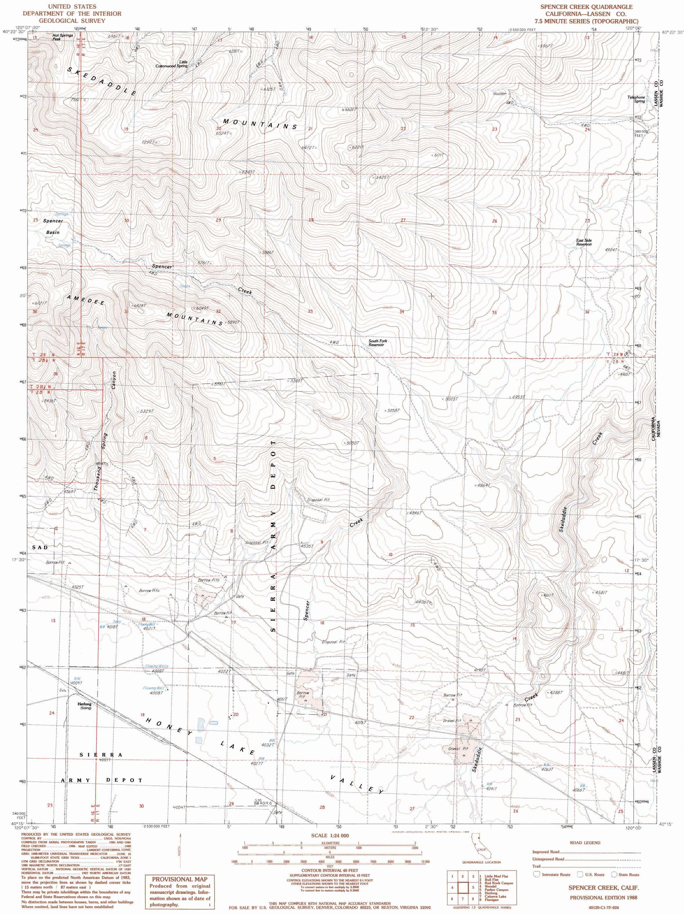
USGS Topo Quad 40120c1 - 1:24,000 scale
| Topo Map Name: | Spencer Creek |
| USGS Topo Quad ID: | 40120c1 |
| Print Size: | ca. 21 1/4" wide x 27" high |
| Southeast Coordinates: | 40.25° N latitude / 120° W longitude |
| Map Center Coordinates: | 40.3125° N latitude / 120.0625° W longitude |
| U.S. State: | CA |
| Filename: | o40120c1.jpg |
| Download Map JPG Image: | Spencer Creek topo map 1:24,000 scale |
| Map Type: | Topographic |
| Topo Series: | 7.5´ |
| Map Scale: | 1:24,000 |
| Source of Map Images: | United States Geological Survey (USGS) |
| Alternate Map Versions: |
Spencer Creek CA 1988, updated 1989 Download PDF Buy paper map Spencer Creek CA 2012 Download PDF Buy paper map Spencer Creek CA 2015 Download PDF Buy paper map |
1:24,000 Topo Quads surrounding Spencer Creek
Karlo |
Five Springs |
Cherry Mountain |
Smoke Creek Ranch |
Salt Marsh |
Shaffer Mountain |
Little Mud Flat |
Bull Flat |
Red Rock Canyon |
Sheepshead Spring |
Wendel Hot Springs |
Wendel |
Spencer Creek |
Parker Canyon |
Sand Pass |
Milford |
Herlong |
Calneva |
Flanigan |
Astor Pass |
Ferris Creek |
Mckesick Peak |
Doyle |
State Line Peak |
Spanish Flat |
> Back to 40120a1 at 1:100,000 scale
> Back to 40120a1 at 1:250,000 scale
> Back to U.S. Topo Maps home
Spencer Creek topo map: Gazetteer
Spencer Creek: Reservoirs
East Side Reservoir elevation 1525m 5003′South Fork Reservoir elevation 1558m 5111′
Spencer Creek: Springs
Little Cottonwood Spring elevation 1915m 6282′Spencer Creek: Streams
Spencer Creek elevation 1241m 4071′Spencer Creek: Valleys
Spencer Basin elevation 1755m 5757′Thousand Spring Canyon elevation 1283m 4209′
Spencer Creek digital topo map on disk
Buy this Spencer Creek topo map showing relief, roads, GPS coordinates and other geographical features, as a high-resolution digital map file on DVD: