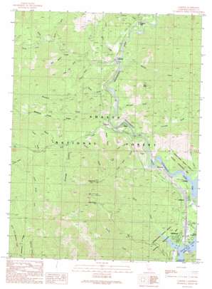
Lamoine Topo Map California
To zoom in, hover over the map of Lamoine
USGS Topo Quad 40122h4 - 1:24,000 scale
| Topo Map Name: | Lamoine |
| USGS Topo Quad ID: | 40122h4 |
| Print Size: | ca. 21 1/4" wide x 27" high |
| Southeast Coordinates: | 40.875° N latitude / 122.375° W longitude |
| Map Center Coordinates: | 40.9375° N latitude / 122.4375° W longitude |
| U.S. State: | CA |
| Filename: | o40122h4.jpg |
| Download Map JPG Image: | Lamoine topo map 1:24,000 scale |
| Map Type: | Topographic |
| Topo Series: | 7.5´ |
| Map Scale: | 1:24,000 |
| Source of Map Images: | United States Geological Survey (USGS) |
| Alternate Map Versions: |
Lamoine CA 1998, updated 2003 Download PDF Buy paper map Lamoine CA 2012 Download PDF Buy paper map Lamoine CA 2015 Download PDF Buy paper map |
| FStopo: | US Forest Service topo Lamoine is available: Download FStopo PDF Download FStopo TIF |
1:24,000 Topo Quads surrounding Lamoine
> Back to 40122e1 at 1:100,000 scale
> Back to 40122a1 at 1:250,000 scale
> Back to U.S. Topo Maps home
Lamoine topo map: Gazetteer
Lamoine: Capes
Delta Point elevation 916m 3005′Lamoine: Populated Places
Delta elevation 342m 1122′Lakehead elevation 354m 1161′
Lakeshore elevation 333m 1092′
Lamoine elevation 385m 1263′
Pollard Flat elevation 459m 1505′
Pollock elevation 360m 1181′
Riverview elevation 388m 1272′
Vollmers elevation 413m 1354′
Lamoine: Ridges
Mosquito Creek Ridge elevation 961m 3152′Lamoine: Springs
Maple Spring elevation 1003m 3290′Lamoine: Streams
Campbell Creek elevation 335m 1099′Dog Creek elevation 331m 1085′
Doney Creek elevation 325m 1066′
Gibson Creek elevation 325m 1066′
Little Dog Creek elevation 346m 1135′
Little Slate Creek elevation 374m 1227′
Little South Fork Dog Creek elevation 477m 1564′
Mosquito Creek elevation 349m 1145′
North Fork Slate Creek elevation 546m 1791′
North Salt Creek elevation 400m 1312′
Puppy Creek elevation 377m 1236′
Slate Creek elevation 374m 1227′
South Fork Slate Creek elevation 575m 1886′
Whitlow Creek elevation 387m 1269′
Lamoine: Summits
Sugarloaf elevation 1190m 3904′Lamoine: Valleys
Barber Gulch elevation 370m 1213′Cavanaugh Canyon elevation 410m 1345′
Chase Gulch elevation 503m 1650′
Clarks Gulch elevation 363m 1190′
Coal Pit Gulch elevation 478m 1568′
Dam Gulch elevation 537m 1761′
French Gulch elevation 437m 1433′
McCall Gulch elevation 444m 1456′
McCardle Gulch elevation 397m 1302′
Pollard Gulch elevation 450m 1476′
Saylor Gulch elevation 393m 1289′
Lamoine digital topo map on disk
Buy this Lamoine topo map showing relief, roads, GPS coordinates and other geographical features, as a high-resolution digital map file on DVD:


