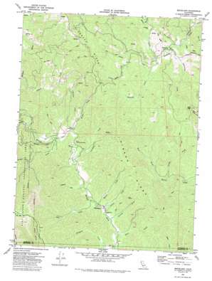
Briceland Topo Map California
To zoom in, hover over the map of Briceland
USGS Topo Quad 40123a8 - 1:24,000 scale
| Topo Map Name: | Briceland |
| USGS Topo Quad ID: | 40123a8 |
| Print Size: | ca. 21 1/4" wide x 27" high |
| Southeast Coordinates: | 40° N latitude / 123.875° W longitude |
| Map Center Coordinates: | 40.0625° N latitude / 123.9375° W longitude |
| U.S. State: | CA |
| Filename: | o40123a8.jpg |
| Download Map JPG Image: | Briceland topo map 1:24,000 scale |
| Map Type: | Topographic |
| Topo Series: | 7.5´ |
| Map Scale: | 1:24,000 |
| Source of Map Images: | United States Geological Survey (USGS) |
| Alternate Map Versions: |
Briceland CA 1969, updated 1974 Download PDF Buy paper map Briceland CA 1969, updated 1974 Download PDF Buy paper map Briceland CA 1969, updated 1987 Download PDF Buy paper map Briceland CA 1969, updated 1987 Download PDF Buy paper map Briceland CA 2012 Download PDF Buy paper map Briceland CA 2015 Download PDF Buy paper map |
1:24,000 Topo Quads surrounding Briceland
> Back to 40123a1 at 1:100,000 scale
> Back to 40122a1 at 1:250,000 scale
> Back to U.S. Topo Maps home
Briceland topo map: Gazetteer
Briceland: Flats
Johnson Flat elevation 260m 853′Briceland: Populated Places
Briceland elevation 181m 593′Thorn Junction elevation 300m 984′
Whitethorn elevation 312m 1023′
Briceland: Ridges
Gibson Ridge elevation 481m 1578′Tank Ridge elevation 270m 885′
Telegraph Ridge elevation 452m 1482′
Briceland: Streams
Anderson Creek elevation 303m 994′Baker Creek elevation 318m 1043′
Bridge Creek elevation 277m 908′
China Creek elevation 180m 590′
Dinner Creek elevation 206m 675′
Eubank Creek elevation 219m 718′
Frost Creek elevation 173m 567′
Gibson Creek elevation 308m 1010′
Harris Creek elevation 305m 1000′
La Doo Creek elevation 205m 672′
McKee Creek elevation 281m 921′
Mill Creek elevation 303m 994′
Miller Creek elevation 170m 557′
Nooning Creek elevation 260m 853′
Painter Creek elevation 293m 961′
Somerville Creek elevation 170m 557′
Stanley Creek elevation 308m 1010′
Vanauken Creek elevation 287m 941′
Briceland: Summits
Rose Peak elevation 614m 2014′Briceland: Valleys
Buck Gulch elevation 230m 754′Tank Gulch elevation 171m 561′
Briceland digital topo map on disk
Buy this Briceland topo map showing relief, roads, GPS coordinates and other geographical features, as a high-resolution digital map file on DVD:


