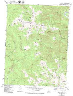
Iaqua Buttes Topo Map California
To zoom in, hover over the map of Iaqua Buttes
USGS Topo Quad 40123f8 - 1:24,000 scale
| Topo Map Name: | Iaqua Buttes |
| USGS Topo Quad ID: | 40123f8 |
| Print Size: | ca. 21 1/4" wide x 27" high |
| Southeast Coordinates: | 40.625° N latitude / 123.875° W longitude |
| Map Center Coordinates: | 40.6875° N latitude / 123.9375° W longitude |
| U.S. State: | CA |
| Filename: | o40123f8.jpg |
| Download Map JPG Image: | Iaqua Buttes topo map 1:24,000 scale |
| Map Type: | Topographic |
| Topo Series: | 7.5´ |
| Map Scale: | 1:24,000 |
| Source of Map Images: | United States Geological Survey (USGS) |
| Alternate Map Versions: |
Iaqua Buttes CA 1979, updated 1979 Download PDF Buy paper map Iaqua Buttes CA 1979, updated 1979 Download PDF Buy paper map Iaqua Buttes CA 2012 Download PDF Buy paper map Iaqua Buttes CA 2015 Download PDF Buy paper map |
1:24,000 Topo Quads surrounding Iaqua Buttes
> Back to 40123e1 at 1:100,000 scale
> Back to 40122a1 at 1:250,000 scale
> Back to U.S. Topo Maps home
Iaqua Buttes topo map: Gazetteer
Iaqua Buttes: Airports
Kneeland Airport elevation 843m 2765′Iaqua Buttes: Gaps
Low Gap elevation 374m 1227′Iaqua Buttes: Populated Places
Lone Star Junction elevation 649m 2129′Iaqua Buttes: Ridges
Ashfield Ridge elevation 799m 2621′Barry Ridge elevation 811m 2660′
Gordon Ridge elevation 1001m 3284′
Iaqua Buttes: Streams
Bell Creek elevation 342m 1122′Blue Slide Creek elevation 125m 410′
Booths Run elevation 324m 1062′
Fish Creek elevation 194m 636′
Iaqua Buttes: Summits
Ashfield Butte elevation 962m 3156′Iaqua Buttes elevation 1045m 3428′
Laqua Buttes elevation 971m 3185′
Pine Butte elevation 840m 2755′
Iaqua Buttes: Valleys
Painter Gulch elevation 499m 1637′Iaqua Buttes digital topo map on disk
Buy this Iaqua Buttes topo map showing relief, roads, GPS coordinates and other geographical features, as a high-resolution digital map file on DVD:


