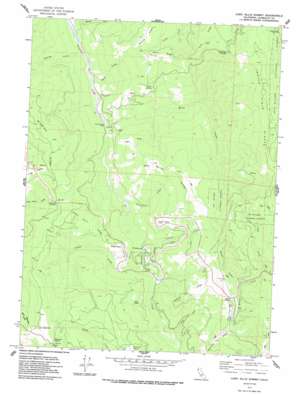
Lord-Ellis Summit Topo Map California
To zoom in, hover over the map of Lord-Ellis Summit
USGS Topo Quad 40123h7 - 1:24,000 scale
| Topo Map Name: | Lord-Ellis Summit |
| USGS Topo Quad ID: | 40123h7 |
| Print Size: | ca. 21 1/4" wide x 27" high |
| Southeast Coordinates: | 40.875° N latitude / 123.75° W longitude |
| Map Center Coordinates: | 40.9375° N latitude / 123.8125° W longitude |
| U.S. State: | CA |
| Filename: | o40123h7.jpg |
| Download Map JPG Image: | Lord-Ellis Summit topo map 1:24,000 scale |
| Map Type: | Topographic |
| Topo Series: | 7.5´ |
| Map Scale: | 1:24,000 |
| Source of Map Images: | United States Geological Survey (USGS) |
| Alternate Map Versions: |
Lord-Ellis Summit CA 1973, updated 1977 Download PDF Buy paper map Lord-Ellis Summit CA 1973, updated 1981 Download PDF Buy paper map Lord-Ellis Summit CA 1997, updated 2001 Download PDF Buy paper map Lord-Ellis Summit CA 2012 Download PDF Buy paper map Lord-Ellis Summit CA 2015 Download PDF Buy paper map |
| FStopo: | US Forest Service topo Lord-Ellis Summit is available: Download FStopo PDF Download FStopo TIF |
1:24,000 Topo Quads surrounding Lord-Ellis Summit
> Back to 40123e1 at 1:100,000 scale
> Back to 40122a1 at 1:250,000 scale
> Back to U.S. Topo Maps home
Lord-Ellis Summit topo map: Gazetteer
Lord-Ellis Summit: Areas
Fern Prairie elevation 464m 1522′Lord-Ellis Summit: Capes
Circle Point elevation 645m 2116′Lord-Ellis Summit: Gaps
Berry Summit elevation 862m 2828′Lord-Ellis Summit elevation 691m 2267′
Lord-Ellis Summit: Pillars
Princess Rock elevation 267m 875′Lord-Ellis Summit: Ridges
Dunn Ridge elevation 932m 3057′Green Point Ridge elevation 734m 2408′
Indian Field Ridge elevation 1222m 4009′
Negro Joe Ridge elevation 927m 3041′
Nixon Ridge elevation 954m 3129′
Squirrel Tail Ridge elevation 630m 2066′
Lord-Ellis Summit: Springs
Pickle Spring elevation 654m 2145′Lord-Ellis Summit: Streams
Captain Creek elevation 257m 843′Captains Creek elevation 258m 846′
Low Gap Creek elevation 776m 2545′
Lupton Creek elevation 264m 866′
Minor Creek elevation 222m 728′
Molasses Creek elevation 195m 639′
Moon Creek elevation 209m 685′
Sweathouse Creek elevation 242m 793′
Toss-up Creek elevation 204m 669′
Windy Creek elevation 290m 951′
Lord-Ellis Summit: Summits
Bald Mountain elevation 960m 3149′Green Point elevation 521m 1709′
Pine Ridge Summit elevation 999m 3277′
Lord-Ellis Summit: Valleys
Mason Gulch elevation 796m 2611′Lord-Ellis Summit digital topo map on disk
Buy this Lord-Ellis Summit topo map showing relief, roads, GPS coordinates and other geographical features, as a high-resolution digital map file on DVD:


