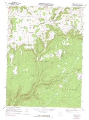
Cherry Flats Topo Map Pennsylvania
To zoom in, hover over the map of Cherry Flats
USGS Topo Quad 41077f2 - 1:24,000 scale
| Topo Map Name: | Cherry Flats |
| USGS Topo Quad ID: | 41077f2 |
| Print Size: | ca. 21 1/4" wide x 27" high |
| Southeast Coordinates: | 41.625° N latitude / 77.125° W longitude |
| Map Center Coordinates: | 41.6875° N latitude / 77.1875° W longitude |
| U.S. State: | PA |
| Filename: | o41077f2.jpg |
| Download Map JPG Image: | Cherry Flats topo map 1:24,000 scale |
| Map Type: | Topographic |
| Topo Series: | 7.5´ |
| Map Scale: | 1:24,000 |
| Source of Map Images: | United States Geological Survey (USGS) |
| Alternate Map Versions: |
Cherry Flats PA 1970, updated 1972 Download PDF Buy paper map Cherry Flats PA 1970, updated 1990 Download PDF Buy paper map Cherry Flats PA 1970, updated 1990 Download PDF Buy paper map Cherry Flats PA 2010 Download PDF Buy paper map Cherry Flats PA 2013 Download PDF Buy paper map Cherry Flats PA 2016 Download PDF Buy paper map |
1:24,000 Topo Quads surrounding Cherry Flats
> Back to 41077e1 at 1:100,000 scale
> Back to 41076a1 at 1:250,000 scale
> Back to U.S. Topo Maps home
Cherry Flats topo map: Gazetteer
Cherry Flats: Airports
Hi Line Lodge Airport elevation 649m 2129′Cherry Flats: Populated Places
Cherry Flats elevation 449m 1473′Klondike (historical) elevation 520m 1706′
Landrus elevation 400m 1312′
Maple Hill elevation 616m 2020′
Cherry Flats: Streams
Dyke Creek elevation 548m 1797′Lick Creek elevation 413m 1354′
Nickel Run elevation 359m 1177′
Red Run elevation 466m 1528′
Sand Run elevation 436m 1430′
Silver Run elevation 456m 1496′
South Creek elevation 508m 1666′
Cherry Flats: Summits
Maple Hill elevation 694m 2276′Cherry Flats: Trails
Fisher Trail elevation 662m 2171′Cherry Flats digital topo map on disk
Buy this Cherry Flats topo map showing relief, roads, GPS coordinates and other geographical features, as a high-resolution digital map file on DVD:
New York, Vermont, Connecticut & Western Massachusetts
Buy digital topo maps: New York, Vermont, Connecticut & Western Massachusetts


