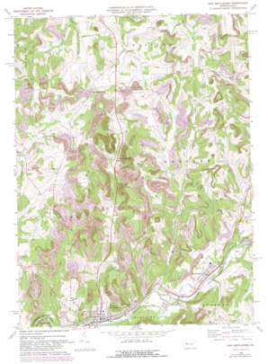
New Bethlehem Topo Map Pennsylvania
To zoom in, hover over the map of New Bethlehem
USGS Topo Quad 41079a3 - 1:24,000 scale
| Topo Map Name: | New Bethlehem |
| USGS Topo Quad ID: | 41079a3 |
| Print Size: | ca. 21 1/4" wide x 27" high |
| Southeast Coordinates: | 41° N latitude / 79.25° W longitude |
| Map Center Coordinates: | 41.0625° N latitude / 79.3125° W longitude |
| U.S. State: | PA |
| Filename: | o41079a3.jpg |
| Download Map JPG Image: | New Bethlehem topo map 1:24,000 scale |
| Map Type: | Topographic |
| Topo Series: | 7.5´ |
| Map Scale: | 1:24,000 |
| Source of Map Images: | United States Geological Survey (USGS) |
| Alternate Map Versions: |
New Bethlehem PA 1969, updated 1972 Download PDF Buy paper map New Bethlehem PA 1969, updated 1982 Download PDF Buy paper map New Bethlehem PA 2010 Download PDF Buy paper map New Bethlehem PA 2013 Download PDF Buy paper map New Bethlehem PA 2016 Download PDF Buy paper map |
1:24,000 Topo Quads surrounding New Bethlehem
> Back to 41079a1 at 1:100,000 scale
> Back to 41078a1 at 1:250,000 scale
> Back to U.S. Topo Maps home
New Bethlehem topo map: Gazetteer
New Bethlehem: Airports
Mayport Airport elevation 408m 1338′New Bethlehem: Dams
Citizens Water Company Dam elevation 324m 1062′New Bethlehem: Gaps
Sloan Gap elevation 467m 1532′New Bethlehem: Populated Places
Alcola elevation 338m 1108′Brinkerton elevation 405m 1328′
Cottage Hill elevation 412m 1351′
Crates elevation 449m 1473′
Fairmont City elevation 326m 1069′
Frogtown elevation 419m 1374′
Hawthorn elevation 337m 1105′
Mayport elevation 340m 1115′
Millville elevation 343m 1125′
New Bethlehem elevation 327m 1072′
Oak Ridge elevation 328m 1076′
Spaces Corners elevation 416m 1364′
Truittsburg elevation 384m 1259′
New Bethlehem: Post Offices
Brinkerton Post Office (historical) elevation 405m 1328′New Mayville Post Office (historical) elevation 379m 1243′
New Bethlehem: Streams
Leisure Run elevation 320m 1049′Long Run elevation 317m 1040′
Middle Run elevation 325m 1066′
Parsons Run elevation 392m 1286′
Pine Creek elevation 326m 1069′
Town Run elevation 329m 1079′
New Bethlehem digital topo map on disk
Buy this New Bethlehem topo map showing relief, roads, GPS coordinates and other geographical features, as a high-resolution digital map file on DVD:


